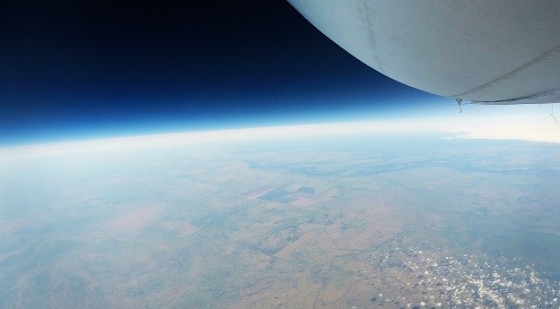
The first in a series of #longread features on attaining RPAS certification in Australia.

Stratoship tests persistent Earth observation platform
The company aims to reduce Australia’s dependence on foreign satellites for observation capabilities.
Read moreLatest Geospatial News
View all
ADVERTISEMENT
Sphere Drones to provide mandated training and servicing for the Elios.
 2018-11-14
NASA and USGS have released a request for information on the future of the Landsat program.
 2018-11-14
Dr. Zaffar Sadiq Mohamed-Ghouse is the firm's new executive director of strategic consulting.
 2018-11-13
PSMA Australia maps every building, revealing previously unknown statistics.
 2018-11-13
The 2018 PTHA includes data for over half a million earthquake-tsunami scenarios, with a decade's worth of new data.
 2018-11-07
ADVERTISEMENT
Denser point clouds by a factor of four for selected Chiroptera and HawkEye scanners.
 2018-11-07
Emesent raises $3.5m for CSIRO-developed autonomous 3D SLAM technology.
 2018-11-07
 Events
View All-
Sep 10
Survey and Spatial New Zealand Annual Conference
 Te Pae, Christchurch
 -
Sep 17
AIMS National Conference
 Novotel Sunshine Coast Resort, Queensland
 -
Sep 29
76th International Astronautical Congress
 Sydney, Australia
 -
Oct 7
INTERGEO 2025
 Frankfurt, Germany
 -
Oct 15
9th International Conference on Engineering Surveying
 Brno, Czech Republic


