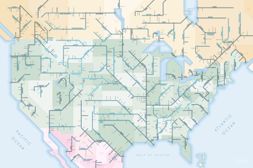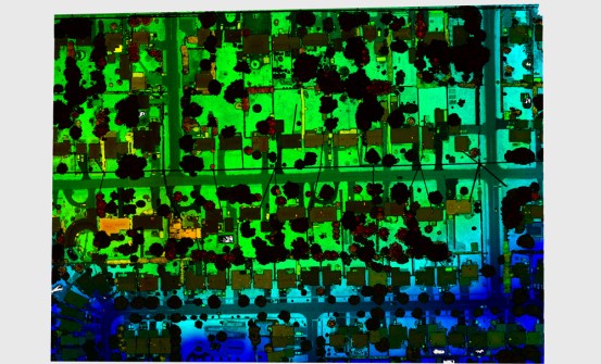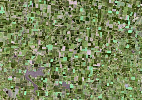
CSIRO's ePaddocks contains paddock boundary information in an AI-derived dataset.
Locate26 Conference: The program is out!
The just-released program covers a huge range of topics and presentations, showing what a great event it will be.
Read moreInsights
View All-
Inside the 12d Tech Forum 2026: Automation, Collaboration, and the Industry’s Next Chapter -
Why Boundary Disputes Are Rising in Sydney, and How Surveyors Are Uniquely Positioned to Resolve Them -
What’s next for Pozi: Meet the team leading the way -
Scaling Photogrammetry in the Cloud With Distributed Processing
Latest Geospatial News
View all
ADVERTISEMENT
MoU will see the agency help develop the NT's emerging space capability and derive space-related benefits.
Spatial Source’s fortnightly round-up of the best in cartography, spatial analysis and creative applications of GIS.
Teledyne Optech claims the Galaxy CM2000 offers the smallest laser footprint currently on the market.
DOT Telematik chooses u-blox for GNSS and cellular duties in its new telematics tracker for rail and freight.
ADVERTISEMENT
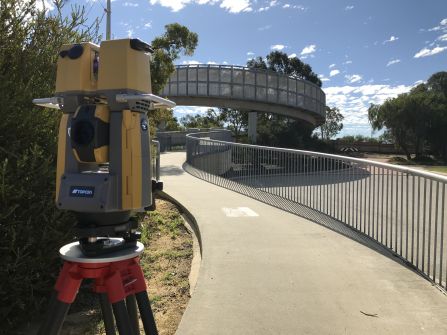
Topcon's new total station promises rapid 3D scanning of a survey site.
Aidedo was founded based on the practical experience of CEO Aiden Tong while studying and working with many Civil Engineering and Land Surveying firms in developed countries.
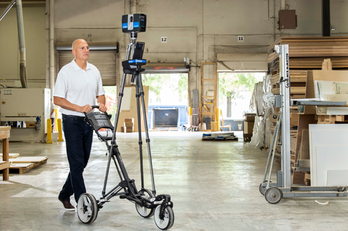
Faro's Focus Swift promises speedy and accurate indoor reality capture.
Cool Tools
View All-
Inside the 12d Tech Forum 2026: Automation, Collaboration, and the Industry’s Next Chapter -
Why Boundary Disputes Are Rising in Sydney, and How Surveyors Are Uniquely Positioned to Resolve Them -
What’s next for Pozi: Meet the team leading the way -
Scaling Photogrammetry in the Cloud With Distributed Processing
Events
View All-
Sep 2
Commercial UAV Expo
Las Vegas -
Sep 9
Survey and Spatial New Zealand Conference 2026
Cordis Hotel, Auckland -
Sep 9
BIM World COPENHAGEN 2026
Copenhagen, Denmark -
Sep 18
Women Surveyors Summit
San Diego -
Oct 8
Colloquium on Scientific and Fundamental Aspects of GNSS
Montreal, Canada