

Partnered firms will scan over 38,500 square kilometres between the two projects.
Best of the Blogs
By Spatial Source on 17 June, 2020Spatial Source’s fortnightly round-up of the best in cartography, spatial analysis and creative applications of GIS.
Faro launches portable Gage 3D CMM
By Spatial Source on 17 June, 2020Faro has released its most portable and accurate 3D coordinate measurement machine.
France’s €15b aerospace bailout to push decarbonisation
By Daniel Bishton on 16 June, 2020Stimulus package to support industry aims to decarbonise air travel by 2035.
UQ partnership to boost Gilmour launch system
By Spatial Source on 10 June, 2020Advance Queensland grant to fund development of hybrid rocket propulsion systems.
Latest Geospatial News
View all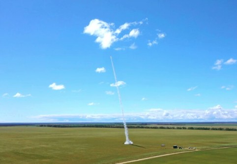
Up to three launches have been approved for the to-be-built launch site on the tip of the Eyre Peninsula.
 2021-06-21
ADVERTISEMENT

Nominations are now being accepted for the 2021 SSSI and SIBA|GITA Asia-Pacific Spatial Excellence Awards.
2021-06-21 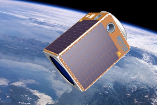
The company says it is responding to the demand for larger, Australia-built satellites to reduce sovereign risk.
2021-06-18 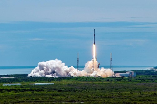
The M-Code satellites should provide three times more accuracy and a more-secure, harder-to-jam GPS signal.
2021-06-18 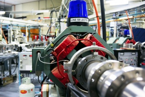
The funding will improve Australia’s ability to develop space-qualified hardware and create export opportunities.
2021-06-17 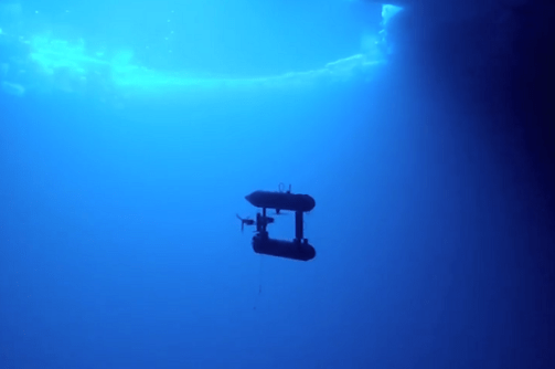
Trusted Autonomous Systems is developing a code of practice for autonomous and remotely operated craft.
2021-06-16
ADVERTISEMENT

Ancient cave paintings and engravings in France at risk from rising waters are being 3D laser scanned for posterity.
2021-06-16 
- Sponsored Content
Aidedo was founded based on the practical experience of CEO Aiden Tong while studying and working with many Civil Engineering and Land Surveying firms in developed countries.
2026-06-02
The survey will help determine which issues are most important for the growth of the industry in Australia.
2021-06-15 



Events
View All-
Nov 9
2026 Advancing Earth Observation Forum
 Hobart, Tasmania
-
Nov 10
SouthPAN Industry Day
Online -
Nov 13
South West and Great Southern Surveyors Conference
Mantra Bunbury Lighthouse, Bunbury, WA -
Nov 24
Locate26 Conference / 10th Digital Earth Summit
Melbourne Convention & Exhibition Centre -
Nov 30

