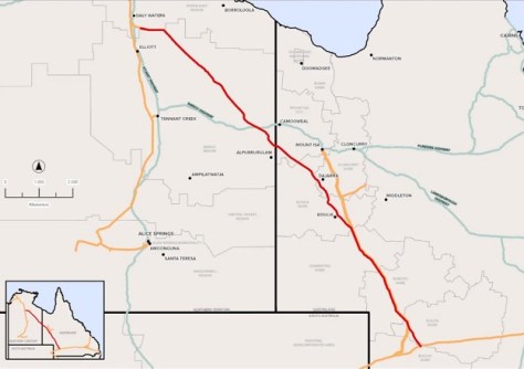
A route for a proposed new gas pipeline spanning the width of the Northern Territory, will be surveyed by APA Group.
Meet Spatial Source’s new ad sales manager
By jnally on 18 December, 2025We’re pleased to announce the appointment of Candice Stannard as our new advertising sales manager.
Spatial Snippets for Wednesday, 17 December
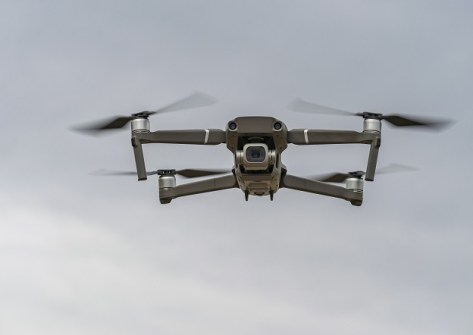
By jnally on 17 December, 2025This week: More geospatial jobs, BVLOS trial rules, GIS certification, events, and BYDA’s new mobile app.
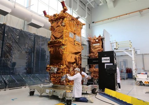
$51.4 million to progress Canada’s next RADARSAT
By jnally on 17 December, 2025The funding for MDA Space will enable the purchase of specialised components for an additional RADARSAT satellite.
Preparations progressing well for LOCATE26
By jnally on 16 December, 2025Organisers expect to put out the call for papers for the Melbourne event, early in the new year.
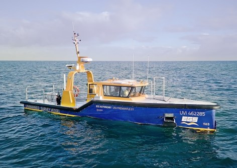
Autonomous survey vessel commissioned in WA
By jnally on 16 December, 2025EGS Survey’s 12-metre-long USV Fremantle 01 is equipped to conduct 90% of its missions autonomously.
LiveEO sets its sights on Australian market
By jnally on 15 December, 2025The German satellite imagery company has opened an office in Sydney to reach Australian and APAC clients.
$650,000 secured for LiDAR coastal scanning
By jnally on 15 December, 2025A multi-institution team has been awarded ARC Linkage funding to help map Australia’s coastal environments.
Location data and intelligence in 2026
By jnally on 12 December, 2025Ordnance Survey’s CTO, Manish Jethwa, gives his views on turning location data into actionable insights.
Deep-learning mapping of global road surfaces
By jnally on 12 December, 2025Models have analysed 9.2 million kilometres of major transport routes connecting cities and rural regions.
Latest Geospatial News
View all 2025-12-18
  2025-12-18
  2025-12-18
  2025-12-18
  2025-12-17
  2025-12-17
  2025-12-16
  2025-12-16
 Events
View All-
Feb 4
PNT 2026 Conference
 Royal Randwick racecourse, Sydney
 -
Feb 17
Geo Week 2026
 Colorado Convention Center, Denver
 -
Mar 4
BYDA Utility Safety Conference 2026
 RACV Club Melbourne
 -
Mar 16
Association of Public Authority Surveyors (APAS) 2026 Conference
 Park Proxi Gibraltar, Bowral, NSW
 -
Mar 22
Hydrospatial 2026 Conference
 Shed 6, Wellington, New Zealand


