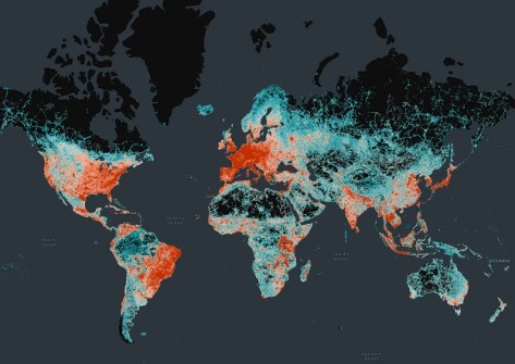
The Overture Maps Foundation has announced the general availability (GA) of its global transport dataset, which includes 86 million kilometres of roads worldwide and which is already being used by Microsoft, Meta and TomTom in mapping applications.
The open map dataset supports new and expanded use cases across a broad swath of industries, including automotive, ride-sharing, logistics, navigation, local search, urban planning, and disaster and humanitarian response.
The GA release means the data and underlying schema is now stable and that developers can start using the data in applications.
The transport dataset joins other Overture datasets in reaching GA status, including buildings, places of interest, divisions (boundaries) and a base layer.
“The Transportation layer of Overture is an iconic map data layer used across a wide range of applications. It is also the most complex, and I’m pleased to see it hit the GA milestone so quickly,” said Marc Prioleau, executive director of the Overture Maps Foundation.
“The team’s work now lets any application developer take advantage of this dataset and deliver services to businesses and consumers around the world.
“Overture data is built open and free for anyone to use, so we expect many innovative use cases across industries, organisations, geographies, and future mapping efforts.”
The Transportation dataset includes detailed, accurate data from aerial imagery, clear road routes with recognisable highway signs, comprehensive rail and ferry route information, and better handling of complex traffic rules and restrictions.
Starting with OpenStreetMap (OSM) data, Overture re-engineered the data structure to create a dataset that is more stable, with a documented schema that makes it easier for application developers to use.
“Using open data as a backbone for transportation datasets allows us to more easily deal with the increasing complexity of capturing and updating the network required by most advanced automated systems and car manufacturers in the future,” said Michael Harrell, SVP of Engineering, at TomTom.
“Data interoperability is a key feature of open data and the Overture datasets, and we’re pleased to see the Transportation dataset hit the GA milestone.”