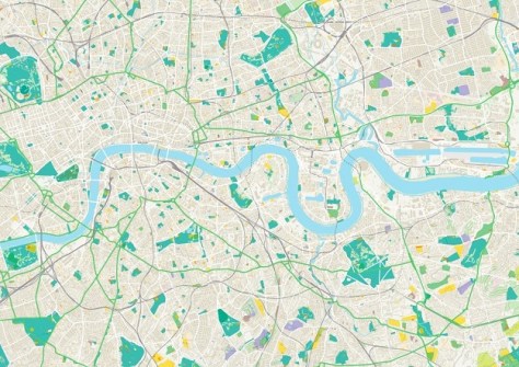
Britain’s national mapping service, the Ordnance Survey (OS), has made several of its open datasets available on Snowflake Marketplace, enabling customers to access its location data via that service.
According to the OS, the collaboration will unlock “new opportunities for innovation and enables valuable insights across multiple sectors, from urban planning and building EV infrastructure to environmental monitoring and management, as well as supporting emergency services and other critical location-based services”.
The Snowflake AI Data Cloud enables users to directly access OS data within applications such as web mapping tools, GIS and business intelligence platforms.
OS Open datasets available on Snowflake Marketplace include Open Names, Open Rivers, Open Roads, Open Greenspace, Built-Up Areas, Open UPRN and Boundary Line.
“Location data is the invisible fabric of modern Britain — it connects data to places,” said Nick Bolton, CEO, Ordnance Survey.
“Collaborating with Snowflake allows us to share our authoritative data with a wider audience and seamlessly integrate location data into various analytics tools and platforms.”
The OS has recently gone through a digital transformation process, which included the modernisation of the National Geographic Database (NGD) and offering customers “a bespoke download service for a more efficient data experience”.
In the near future, there are plans to add other datasets on Snowflake, including OS NGD and other premium products.


