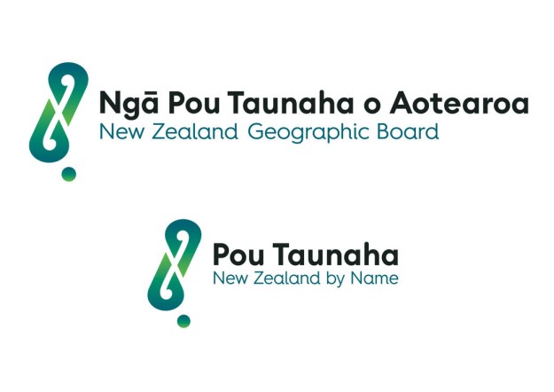
The new logo designs for the New Zealand Geographic Board Ngā Pou Taunaha o Aotearoa.
As part of this month’s 2022 Te Wiki o Te Reo Māori (Māori Language Week) celebrations, the New Zealand Geographic Board Ngā Pou Taunaha o Aotearoa has announced greater prominence for its te reo Māori name.
From now on, the Board will use the title, ‘Pou Taunaha New Zealand by Name’. In te reo (Māori language), Pou Taunaha refers to the process of naming places.
The Board’s full official name will remain the New Zealand Geographic Board Ngā Pou Taunaha o Aotearoa.
Ngā Pou Taunaha o Aotearoa metaphorically means ‘memorial markers of the landscape’ and was gifted to the Board by the late Sir James Henare in the 1980s.
To reflect the change, the Board has unveiled a new logo to symbolise the mahi (purpose or work) of the Board.
“The new logo combines a location marker and the notion of speech marks with a double koru or spiral, a symbol of growing together and te Hei Matau — Māui’s fishhook, a symbol of abundance, strength and determination,” said Board Secretary, Wendy Shaw. “They merge to form a stylised map of Aotearoa New Zealand, using colours that reflect the natural world.”
“The image is intended to capture the essence of what Ngā Pou Taunaha o Aotearoa does, as the independent statutory body of government, and legal authority making New Zealand place names official.”
Stay up to date by getting stories like this delivered to your inbox.
Sign up to receive our free weekly Spatial Source newsletter.