Image credit: ©stock.adobe.com/au/godfather
Survey and Spatial New Zealand (S+SNZ) has launched its long-awaited new Certification Framework, following a two-year development period that included a successful pilot program in 2022.
According to S+SNZ, the purpose of the framework is to “provide a recognised professional pathway for members at all levels, with clear eligibility criteria, a public register and mandatory Continuing Professional Development, supported by a robust renewal process and a quality management system”.
Certifications will be available only to S+SNZ members, with the applications process to open in July 2023. Costs are yet to be announced.
To begin with, the framework will provide certification for two categories (with the goal of adding others):
- Engineering Surveyors (Survey and Spatial New Zealand Certified Professional Engineering Surveyor)
- Land Development Engineers (Survey and Spatial New Zealand Certified Professional Land Development Engineer)
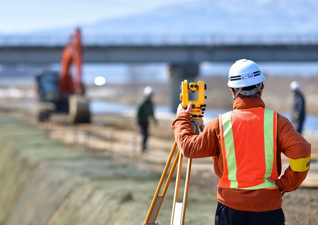
Engineering surveying has been spotlighted because, according to S+SNZ, this is currently an unregulated sector in New Zealand, making the new certification the “first step to providing recognition of professional and technical competency for NZ Engineering Surveyors. It will provide quality assurance for employers, clients, and third parties and provide a new career pathway for our members.”
The land development engineering certification will be the first certification for New Zealand professional land development engineers. The assessment will be set at a high standard and will recognise “current professional and technical competency in Civil Engineering as it relates to Land Development,” as well as aligning with the aims of the new ‘Occupational Regulation of Engineers’ Act which is due to be passed this year.
Certification currency will be assured via a four-yearly reassessment, an annual practising certificate with compulsory CPD requirements, and an annual commitment to ethics and best practice.
“The Certifications of Competence are formal recognition by S+SNZ New Zealand of those who have been assessed against a defined set of professional and technical competencies which meet standards and technical sign-off criteria required by private and public asset owners, Territorial and Local Authorities and other such entities,” according to S+SNZ.
The professional body says that at this stage, there is no change to the RPSurv regime that certifies Registered Professional Surveyors, although a review of RPSurv is underway.
More information will be forthcoming for S+SNZ members via email updates, webinars, Zoom sessions and posts on its website. Interested parties can email certification@surveyspatialnz.org for further details.


