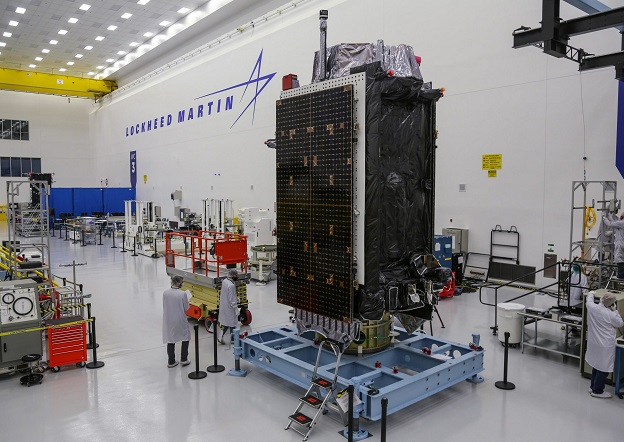
A GPS III satellite at the Lockheed Martin facility outside of Denver, Colorado.
A new GPS III satellite was launched from Cape Canaveral Space Force Station, Florida, aboard a SpaceX Falcon 9 rocket on January 18.
The refurbished launch vehicle had previously been used to carry astronauts to the International Space Station.
The Lockheed Martin-built GPS III SV06 is the 25th Military-Code satellite introduced to the US Space Force’s GPS constellation. It will aid Space Force operators in their mission to providing positioning, navigation and timing (PNT) data to military and civil users worldwide.
GPS III satellites provide three times greater accuracy and eight times greater anti-jamming capability than older satellites in the constellation.
Lockheed Martin has completed production on its original GPS III SV1-10 contract, with the Space Force declaring SV10 Available for Launch on Dec. 8, 2022. GPS III SV06 will soon join SV01-05 in orbit. GPS III SV07-10 are completed and in storage at the company’s facility waiting for the US Space Force to call them up for launch.
Lockheed Martin is also designing and building the GPS III Follow On (GPS IIIF) for the Space Force, which will feature even more innovative capabilities than its predecessors.
GPS IIIF satellites will feature an accuracy-enhancing laser retroreflector array, a new search and rescue payload, a fully digital navigation payload and more next-generation technology.


