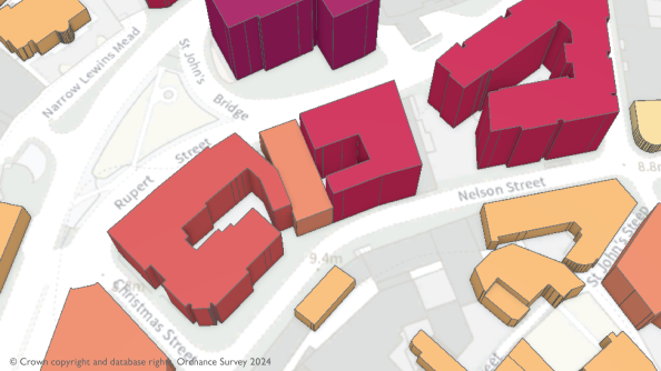
Emergency services operators in Great Britain now have access to data that indicates how many floors there are in more than 23 million of the nations’ office and residential buildings.
According to the Ordnance Survey (OS), having this data added to the OS National Geographic Database will provide greater support for the police, fire and rescue, ambulance, coastguard and mountain rescue.
The data includes all floors occupiable at or above ground level but does not include basements and rooftop plant rooms. (The presence of basements had been made available in a separate data release earlier this year.)
Interactions with bridges have been added into the database too, as have additional access locations.
The OS says the detailed floor information will give emergency services greater situational awareness during events such as evacuations of high-rise buildings.
In addition to the floor information, more than 1.5 million new sites have been improved and supplied since 2022 and classified for this latest data release, bringing the total to 26 million.
Also boosted is information on how emergency services can access sites by vehicle or on foot, as well as 660,000 instances of where bridges interact with other road, rail or water networks or footpaths.
“Fire Services have always made great use of the data that OS provides to enable them to respond to incidents and to understand the risk in their communities, but the new data being released by OS far exceeds anything that has come before,” said Steve Taylor, Strategic Data Lead at the National Fire Chiefs Council.
“In particular, data such as numbers of floors in buildings and details around access points to sites will really help ensure that we can help keep our communities safer, both in planning and responding to incidents, and in trying to prevent them happening in the first place.”