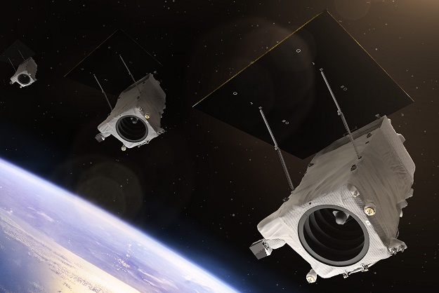
Image courtesy Maxar Technologies
Maxar Technologies has secured a contract for WorldView Legion satellite constellation capacity through an expanded agreement with an undisclosed defence and intelligence customer.
The multi-year, US$35 million contract extends the customer’s ability to directly task and download 30cm-class satellite imagery to its ground station from Maxar’s current constellation under the Direct Access Program.
The contract will also provide direct access to Maxar’s next-generation WorldView Legion satellites once they enter operations, as well as access to Maxar’s 3D data suite.
“Maxar is proud to continue our two-decade partnership with this important US ally,” said Tony Frazier, Maxar Executive Vice President of Global Field Operations.
“Maxar’s commercial satellite imagery and 3D data suite will enhance situational awareness and decision-making for the customer’s critical government missions.”
Stay up to date by getting stories like this delivered to your inbox.
Sign up to receive our free weekly Spatial Source newsletter.


