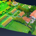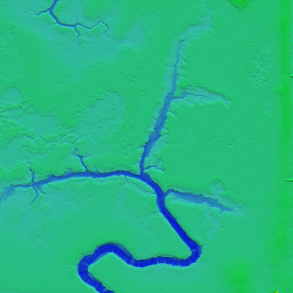
Mapping areas with water through photogrammetry can be a challenge. Sun reflections and homogeneity between images can really make the process difficult. Resulting DSMs/DTMs can often be noisy, while orthomosaics may present color issues.
To mitigate this, additional tie points can be used while performing aerial triangulation, or existing polygons of water bodies can be applied with fixed elevation values. Moreover, seamline editing can be done to create the best possible orthomosaic by choosing images or areas within images where little glare can be found.
Find the answers to your questions regarding mapping water in a recent webinar held by SimActive: https://hubs.ly/Q034XgpY0
Specifically you will learn about the following:
• Considerations before flight
• Options for successful aerial triangulation
• Ways to fix DSMs/DTMs
• Solutions to ensure the quality of mosaics