Mapping Water: Can You Really Do It?

By on 3 February, 2025

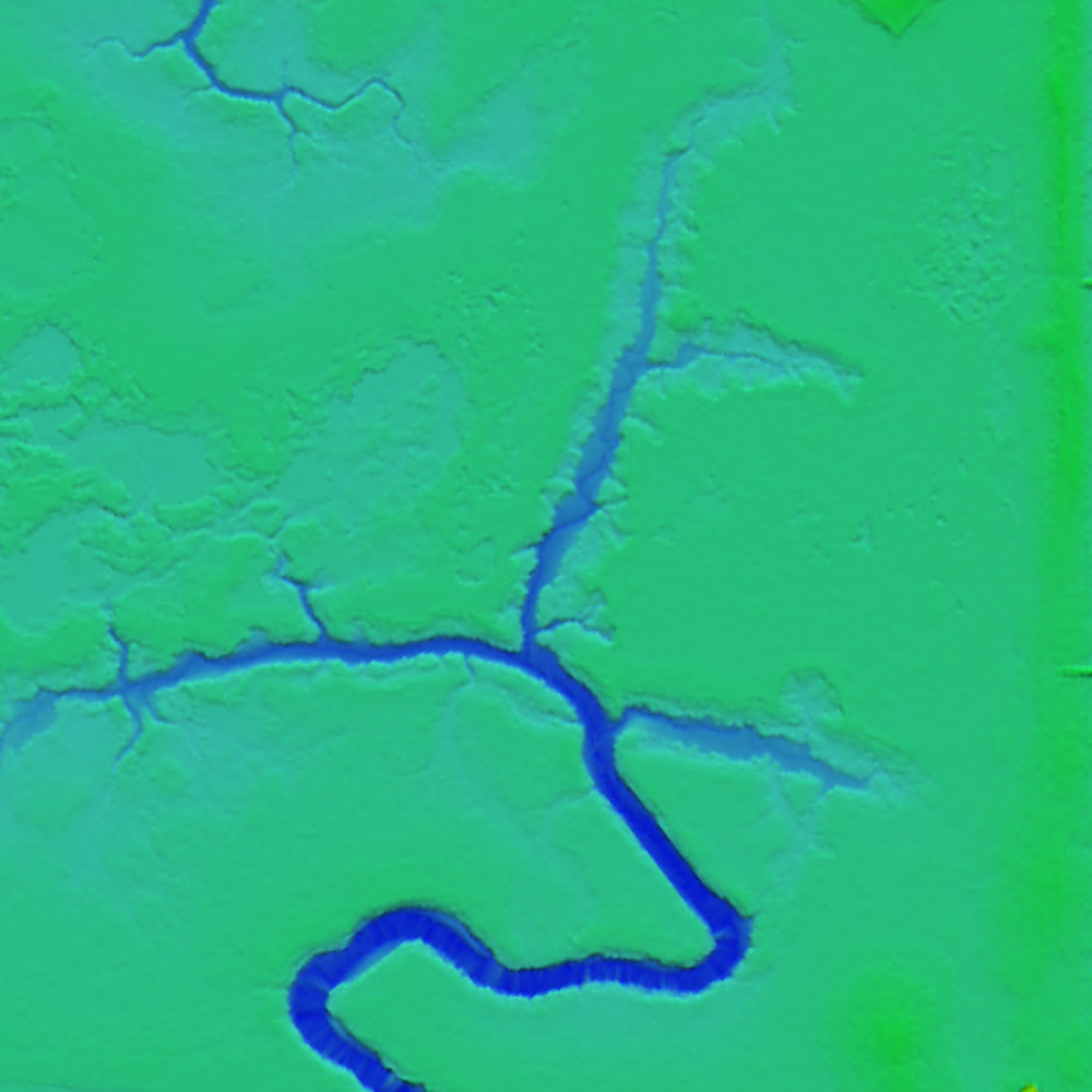
Mapping areas with water through photogrammetry can be a challenge. Sun reflections and homogeneity between images can really make the process difficult. Resulting DSMs/DTMs can often be noisy, while orthomosaics may present color issues.

To mitigate this, additional tie points can be used while performing aerial triangulation, or existing polygons of water bodies can be applied with fixed elevation values. Moreover, seamline editing can be done to create the best possible orthomosaic by choosing images or areas within images where little glare can be found.

Find the answers to your questions regarding mapping water in a recent webinar held by SimActive:  https://hubs.ly/Q034XgpY0

Specifically you will learn about the following:

•          Considerations before flight

•          Options for successful aerial triangulation

•          Ways to fix DSMs/DTMs

•          Solutions to ensure the quality of mosaics

You may also like to read:


,


Newsletter

Sign up now to stay up to date about all the news from Spatial Source. You will get a newsletter every week with the latest news.

QGIS WCPS plugin for multidimensional datacubes
The new QGIS WCPS Plugin enables seamless querying and visua...
Seafloor mapping reveals landslide, tsunami risk
Surveying and mapping are providing insights into some of th...
Company behind Pokémon GO splits off spatial arm
Niantic will spin off its geospatial AI arm into a new compa...
Sphere Drones transitions to in-house production
Sphere boosts its local manufacturing capabilities to meet m...
Terria targets the digital twin universe
We speak with the firm’s co-founders to find about more ab...
Desktop, cloud geographic software
Blue Marble Geographics has launched Geographic Calculator 2...