

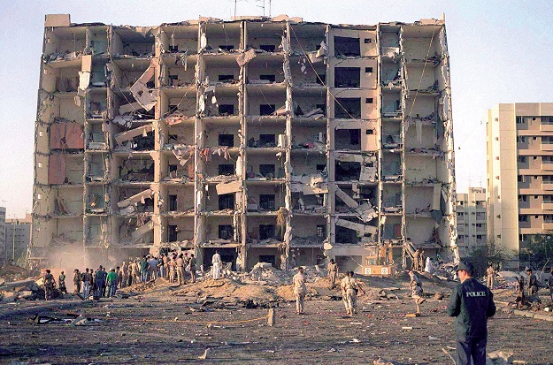
A damaged building in Beirut following the explosion in August 2020. US Air Force photo.
Within days of the August 4, 2020, explosion that shattered the city of Beirut and its port, experts were on the ground mapping the damage.
The awful calamity provided an opportunity for scientists to compare ground and satellite data in assessing the aftereffects of the disaster.
According to Jonathan Stewart, a civil and environmental engineer at the University of California, Los Angeles, and colleagues at the American University of Beirut, satellite-based damage proxy maps were good at differentiating between severely damaged buildings and undamaged buildings.
However they were less effective for evaluating moderate levels of damage to structures or façades.
“The main take away is that the damage proxy maps can definitely distinguish severe damage from lack of damage” for both structural and façade assessments, Stewart said, “but they are not as good at finer tuning.”
“If what you’re interested in is a fairly detailed picture of what has happened, it’s not able to replace a person who actually knows what they’re doing looking at the structure, particularly from the inside,” he added.
The research was arranged through the US National Science Foundation-sponsored Geotechnical Extreme Events Reconnaissance Association.
The team also included members from the University of Illinois and the University of Calabria in Italy.
“We felt that it was important to gather perishable data that we anticipate will be useful to people who study blast effects in an urban setting, and to learn something from this disaster to improve our resilience to future such disasters,” Stewart said.
It is hoped that the information gathered will help engineers learn more about how to build structures that can withstand comparable events, such as earthquakes.
The ammonium nitrate and fuel-fed explosion was the equivalent of a magnitude 3.3 earthquake.
Stay up to date by getting stories like this delivered to your inbox.
Sign up to receive our free weekly Spatial Source newsletter.


