

Ahead of a significant milestone, Leica Geosystems has announced upgrades to its entire range of automated total stations, including new models.
As 2020 draws to a close, Leica looks to drum up excitement with a suite of upgrades across its range of total stations, and some new toys.
The veteran survey instrument firm has announced that single-button-press height measurement is a standard feature on its TS13, TS16 MS60 and TS60 models, as well as a tracking feature for fleet management and theft deterrence.
Leica’s announcement comes in anticipation of a milestone for its parent company, Wild Heerbrugg.
“In 2021 we celebrate the 100 years anniversary of the founding of WILD Heerbrugg AG in Heerbrugg as part of our 200 years of surveying history. Heerbrugg continues to be the home of many innovations, and we are pleased to announce another innovation with the launch of a new range of automated total stations,” said Hans-Martin Zogg, business director TPS at Leica Geosystems.
“We are driven to solve our customers’ problems and provide them with the best solution – hardware, software and services – and are grateful for the spirit shown by our dedicated teams at Leica Geosystems.”
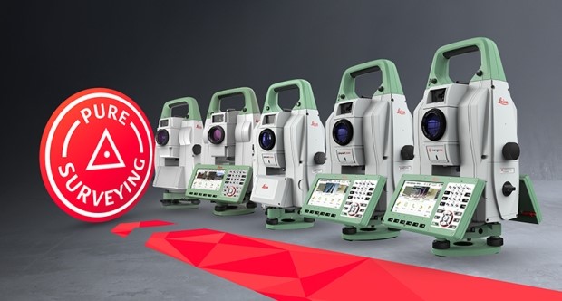
Leica’s announcement also highlighted the newbies in its total station range, the mid-range TS13; the top-spec T16, the TS15’s successor and TM60, aimed at 24/7 monitoring applications.
The TS16 has Leica’s DynamicLock as an option, and comes with the ATRplus AI-driven auto-targeting — a feature that the monitoring-focused TM60 can engage at distances up to 3,000m.
Stay up to date by getting stories like this delivered to your mailbox.
Sign up to receive our free weekly Spatial Source newsletter.


