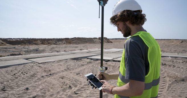
Emlid has announced Caster, a free casting service for all NTRIP-compatible RTK receivers.
new products
-
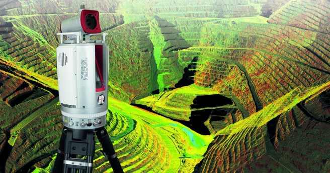
RIEGL launches three new apps to fully automate its VZ-i series laser scanners.
2021-01-25
Phase One Industrial brings a new large-format nadir and oblique aerial camera system...2021-01-13
Leica rolls out two new offerings in its Cyclone suite of reality capture...2020-12-16
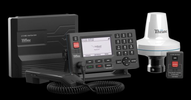
ADVERTISEMENTIridium’s GMDSS maritime safety system covers the entire globe with real-time connectivity and...2020-12-16
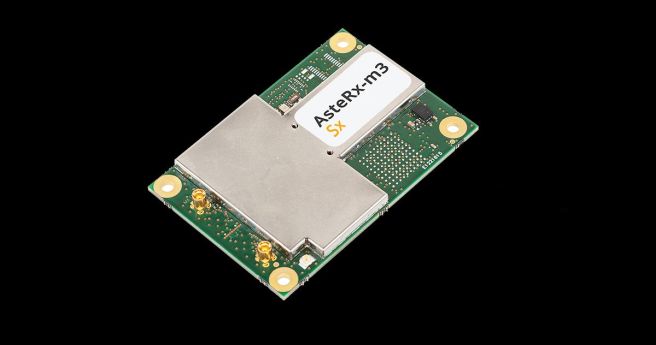
Septentrio’s new line of AsteRx-m3 GNSS OEM boards will feature its sub-decimeter correction...2020-12-02
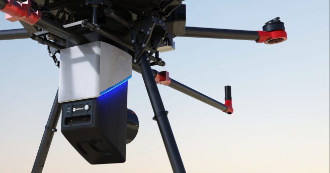
Nextcore launches its next-generation LiDAR sensor for UAVs.2020-11-17
Leica lobs a tiny, modular new GNSS antenna for field capture, AR and...2020-11-10
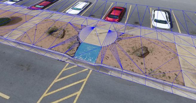
The drone surveying software suite adds useful new functionality in latest release.2020-11-04
Leica Geosystems has upgraded its full range of total stations in anticipation of...2020-11-04
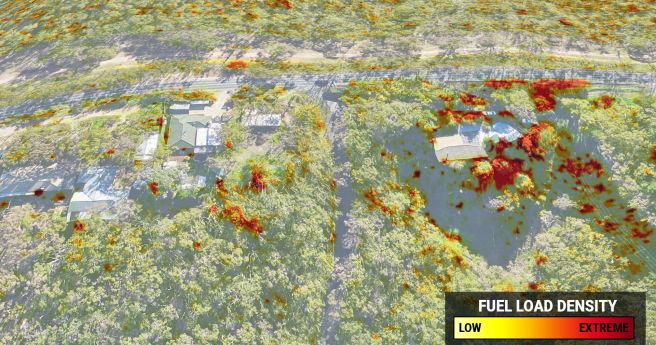
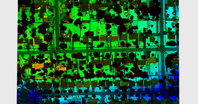
Highly accurate 3D fuel load calculation technology launches for 2020-21 bushfire season.2020-10-27
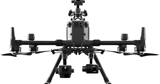
DJI throws down with two heavyweight sensing payloads for geospatial applications.2020-10-21
Land Information New Zealand’s free new base maps offer resolution accurate to 5cm...2020-08-18
NavigatAR, a dynamic navigation tool aiming to safely bring back the physical interaction...2020-08-12
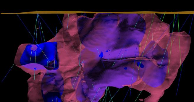
Maptek’s comprehensive suite of geotechnical and mine design tools gets a massive 2020...2020-08-11
CSIRO’s ePaddocks contains paddock boundary information in an AI-derived dataset.2020-08-11
Teledyne Optech claims the Galaxy CM2000 offers the smallest laser footprint currently on...2020-08-05
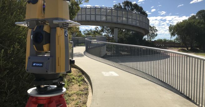
Topcon’s new total station promises rapid 3D scanning of a survey site.2020-08-04
Faro’s Focus Swift promises speedy and accurate indoor reality capture.2020-08-04
New AT sensor can improve temperature detection accuracy of IR camera systems to...2020-07-28
Newsletter
Sign up now to stay up to date about all the news from Spatial Source. You will get a newsletter every week with the latest news.
© 2025 Spatial Source. All Rights Reserved.
Powered by WordPress. Designed by


