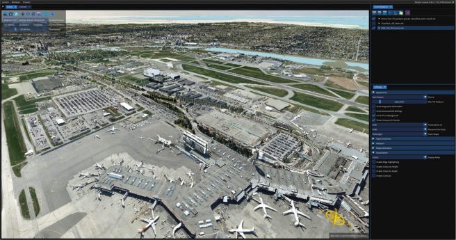
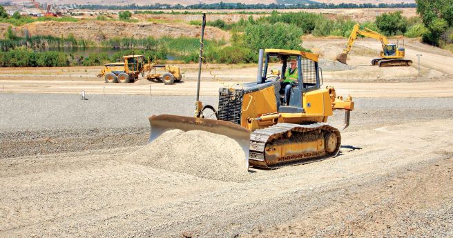
Trimble has introduced a three-tiered subscription model for its T4D package.
new products
-
Faro’s Freestyle 2 promises speed and ease of use for close range, handheld...
2020-07-14
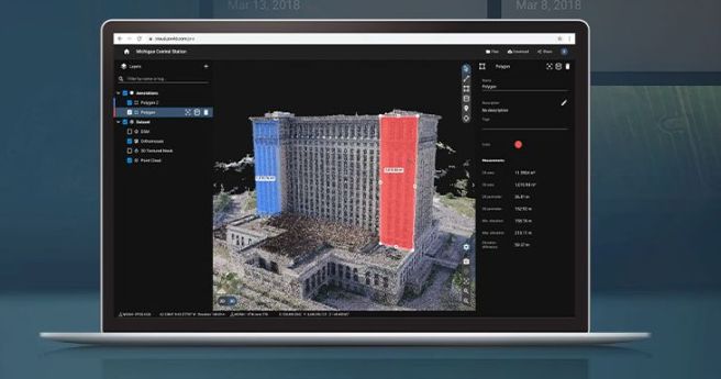
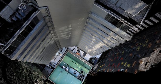
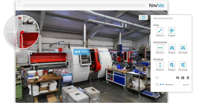
New ‘freemium’ service generates 3D models from massive point clouds with unlimited storage,...2020-07-13
Emesent has announced its new Hovermap SLAM module, developed to integrate with DJI’s...2020-07-06
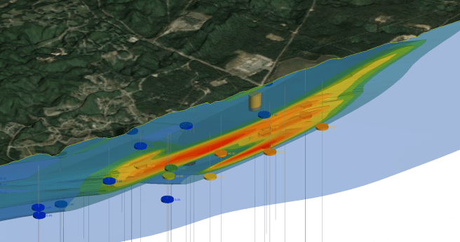
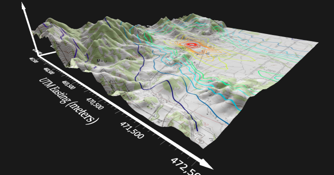
ADVERTISEMENTThe extension for Leapfrog Works facilitates 3D modelling of subsurface contaminant plumes.2020-06-29
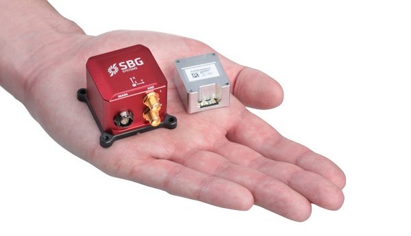
SBG Systems launches its latest generation of high accuracy inertial sensors, aimed squarely...2020-06-23
Position Partners launches a new tool to take on RTK and UHF-based systems.2020-06-17
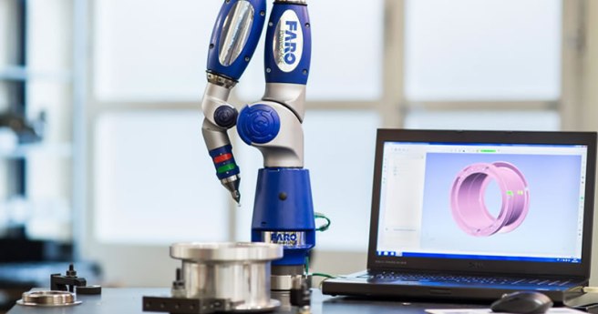
Faro has released its most portable and accurate 3D coordinate measurement machine.2020-06-17
Pix4D has launched two all-new cloud-based photogrammetry platforms.2020-06-10
Emesent has announced new functionality for its Hovermap SLAM LiDAR scanners.2020-06-09
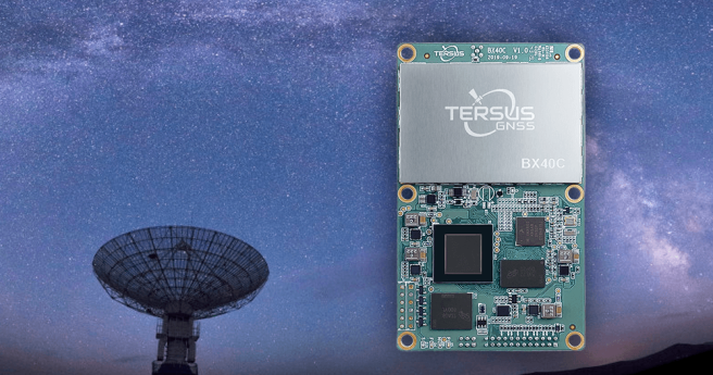
Tersus GNSS launches the BX40C: a compact, multi-constellation, centimetre-accurate RTK board.2020-06-08
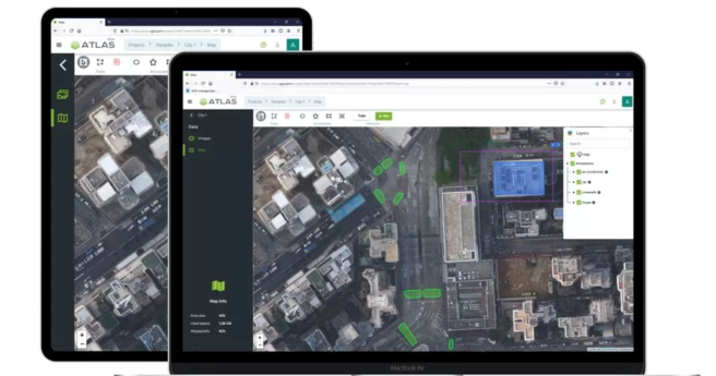
Nearmap launches a suite of AI-driven analytics services alongside its existing imagery services.2020-06-02
SPH Engineering has announced a new AI-driven analytics platform for industrial asset inspection.2020-05-27
The newest release of Blue Marble’s geodetic toolkit features licensing options for use...2020-05-20
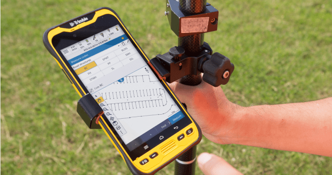
Trimble has launched its Access 2020 software, which now supports the Android-based TDC600...2020-05-12
IDS GeoRadar’s latest GDR boasts impressive specs for extensive underground asset mapping.2020-04-29
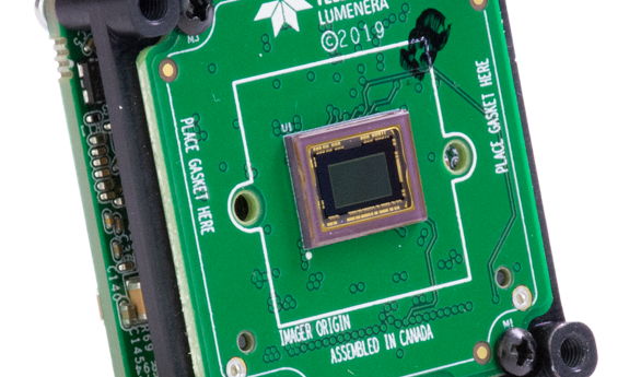
Teledyne Lumenera has announced its new series of USB3 digital cameras for scientific...2020-04-22
A suite of key features are overhauled in the latest version of the...2020-04-15
The new release features a slew of new features to increase usability and...2020-04-09
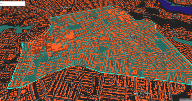
Geoscape launches an on-demand spatial data service for Australian building and address data.2020-04-01
Newsletter
Sign up now to stay up to date about all the news from Spatial Source. You will get a newsletter every week with the latest news.
© 2025 Spatial Source. All Rights Reserved.
Powered by WordPress. Designed by


