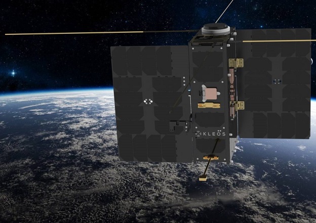
Artist’s impression of one of Kleos’ satellites.
Kleos Space has announced a partnership with geospatial company UP42, which will see Kleos’ RF geolocation data offered to UP42’s users.
Kleos’ satellites detect and geolocate RF transmissions, enhancing the detection of activity such as piracy, drug and people smuggling, border security challenges and illegal fishing.
Under the partnership, Kleos’ geospatial data product, Guardian LOCATE, will become available on UP42’s marketplace.
Guardian LOCATE provides processed geolocated RF transmissions collected over key areas of interest by Kleos’ satellites.
The UP42 marketplace features more than 180 geospatial data sources and algorithms.
Kleos’ RF data can be used to validate or tip and cue commercial datasets to establish a baseline pattern of behaviour, complementing the existing data available on UP42’s marketplace.
“UP42 offers its users a vast range of data sources, such as satellite imagery with algorithms, to identify objects, detect change, and find patterns. The addition of our precision radio frequency geolocation data, low earth orbit technology, and industry know-how will be beneficial for all of UP42’s platform customers,” said Kleos’ Chief Revenue Officer, Eric von Eckartsberg.
“We are looking forward to helping unlock new capabilities from the fusion of these datasets with existing imagery and algorithms. By making our data available via UP42, we provide access to an even greater number of potential customers, increasing our market penetration.”
“By partnering with Kleos, we stay true to our mission of commercialising data that would otherwise not be easily available,” added Kevin Boverie, Head of Partnerships and Resellers at UP42.
“This opens countless opportunities for our customers to combine different products available on our marketplace with Kleos’ RF geolocation data and expand their applications across multiple industries.”
Kleos currently has two multi-satellite missions in orbit, which collect radio frequency transmissions over key areas of interest to produce its data products, with a further multi-satellite mission due to launch before the end of 2022.