

Industry leaders from around Australia and across the globe have been confirmed as keynote and invited speakers for the Locate22 conference, to be held in Canberra in May 2022.
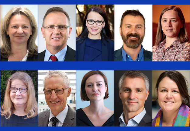
Headlining the list are:
- Professor Lisa Harvey-Smith, astrophysicist, the Australian Government’s Women in STEM Ambassador and a Professor of Practice in Science Communication at UNSW; and
- Adrian Turner, Chief Executive Officer of the Minderoo Foundation Fire & Flood Resilience Initiative
- Melissa Harris, Chief Executive of Land Use Victoria, and Chair of the Australia And New Zealand Land Information Council (ANZLIC)
- Thalia Baldwin, Director of the UK Geospatial Commission
- Dr James Johnson, Chief Executive Officer of Geoscience Australia
- Dr David Gruen, Australian Statistician and CEO of the Australian Bureau of Statistics
- Rebecca De Cicco, Principal, Digital Operations at Aurecon, Director Digital Node and Global Chair of Women in BIM
- Dr Monica Wachowicz, Associate Dean of Geospatial at RMIT University and Cisco Innovation Chair in Big Data
- Dr Stefan Hrabar, CEO and co-founder of Emesent
- Dr Fiona McKenzie, Director of Orange Compass
You can learn more about the speakers and their presentations on the Locate22 website.
Earlier this week, the conference organisers extended the deadline for submission of abstracts and workshop/Hub ideas to midnight AEDT, Thursday, 10 February.
Super Early Bird registrations are closing soon, too, so don’t delay if you want to save 10% on your registration fee.
Stay up to date by getting stories like this delivered to your inbox.
Sign up to receive our free weekly Spatial Source newsletter.


