By Jonathan Nally
Members of Australia’s geospatial community have received some of the nation’s highest accolades in the 2023 King’s Birthday Honours list.
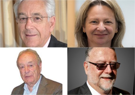
Melissa Harris (Chief Executive of Land Use Victoria, Victorian Registrar of Titles and Chair of ANZLIC) has been awarded the Public Service Medal in recognition of outstanding public service to state and local government, and for transformation in the areas of geospatial, planning and land administration in Victoria.
Matt Higgins (currently Assistant Director, Space Technology in the Australian Space Agency’s Office of the CTO) also has been awarded the Public Service Medal, in recognition of outstanding public service to Queensland, with international impact in the fields of surveying, geodesy and spatial sciences.
John Trinder (currently Emeritus Professor in the UNSW School of Civil and Environmental Engineering) has been made a Member in the General Division of the Order of Australia for this significant service to tertiary education and to professional organisations.
Peter Tyrrell (former principal of surveying firm Kearney & Tyrrell) has received the Medal of the Order of Australia in recognition of his service to surveying and to professional organisations.
It’s wonderful to see members of our profession receiving the recognition they, and the sector as a whole, deserve. Congratulations to all the recipients.


