The open geospatial and mapping community is being invited to get involved in the FOSS4G Perth conference, with the call going out for presentation proposals.
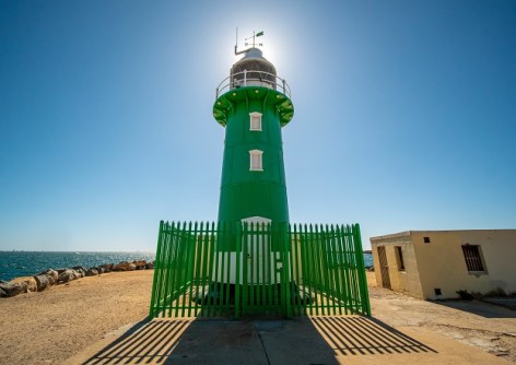
FOSS4G Perth will be held in Fremantle on 23 October 2024, and is intended to be a meeting place for practitioners to exchange information on their favourite open-source tools, such as QGIS, PostGIS, OpenStreetMap, Sentinel-2 satellite imagery, Python-based Earth observation libraries and frameworks, GDAL, and more.
The organisers are seeking both full-length talks (15 minutes) and lightning talks (5 minutes), with first-time speakers, experienced FOSS4G practitioners and newcomers all welcome and encouraged to take part.
Examples of topics that could be proposed are:
- Case studies
- Use of open-source tools and open data, and new tools
- Community building projects and collaborations
- Success stories
- Challenges facing the community
- Interesting workflows, or introductions to open geospatial technologies
- GIS, cartography, geology, geoscience, remote sensing, historical maps, psychogeography, geocaching and general mapping.
- Open source geospatial such as QGIS, PostGIS, Leaflet, OpenLayers, Python, R, GeoServer, MapServer and others.
- OpenStreetMap and open data projects.
For newcomers to presenting, the organisers can provide connections with experienced speakers for help with preparing submissions, or for advice on how to produce a slide deck.
Key dates:
- 21 August: Call for presentations closes
- 22–28 August: Community vote on presentations
- 25 September: Full program to be released
Submissions must be received no later than 11:59pm (AWST) on 21 August 2024.
For further information, contact admin@foss4g-perth.org.


