A joint USGS/NASA program to map the USA’s minerals from has now reached more than 1 million square km.
The hyperspectral survey is being conducted using NASA’s ER-2 high-altitude aircraft, being a modified version of the Cold War-era U2 military intelligence-gathering aircraft.
The aircraft can fly as high as 70,000 feet and cover a maximum of 5,000 nautical miles over eight hours.
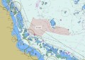
“As of today, the hyperspectral survey from the edge of earth’s atmosphere has covered about 400,000 square miles [1 million square km], giving us a brilliant new picture of the mineral wealth under the western states,” said Andrea Travnicek, Assistant Secretary of the Interior for Water and Science.
The aerial hyperspectral mineral survey is one component of the USGS’s Earth Mapping Resources Initiative, known as Earth MRI, and is also part of the Geological Earth Mapping Experiment (GEMx), a NASA-USGS partnership.
The Earth MRI program works hand in hand with the geological surveys of 45 US states, plus academia and industry, to map minerals and mining waste.
Unlocking insights
“This hyperspectral survey is one of the latest tools for a USGS mission that started in 1879: mapping the mineral resources of the United States,” said USGS Director Ned Mamula.
“NASA flies the highest of all our cutting-edge Earth MRI surveys which together show where to look for the minerals needed to drive the US economy and national security.”
“The 60-year partnership between the USGS and NASA has benefitted both the space program through USGS mapping the moon for Apollo and Artemis missions and had terrestrial benefits such as Landsat and these hyperspectral flights.”
The ER-2 aircraft’s multiple instruments can measure from dozens to hundreds of wavelengths.
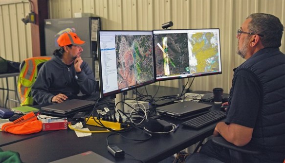
The data is combined with ground truth data to unlock insights into mineral deposits.
Recently, USGS geologist Erik Tharalson studied an anomaly located by a previous flight in the survey that could be related to a porphyry copper deposit, a potential source of valuable minerals.
“It’s a large outcrop of volcanic rocks, but the minerals in it would be easy to miss. That’s why the hyperspectral survey is so critically important,” he said.