

Image courtesy Floodmapp
Climate technology company FloodMapp has announced a US$6 million fundraising that will enable it to scale up the company and expand into new markets.
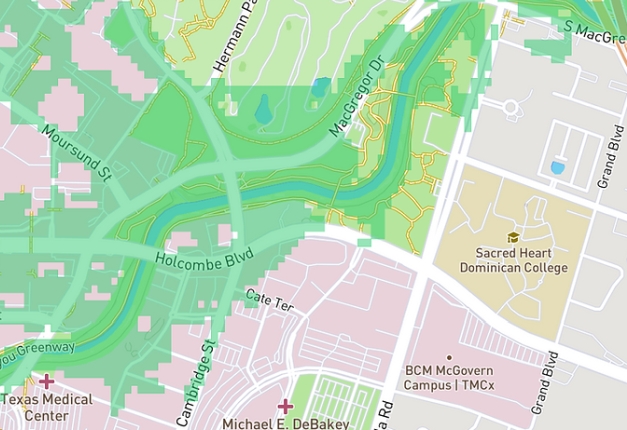
FloodMapp provides real time, property-specific flood forecasts, inundation maps and analytics to improve emergency management.
The funding round was led by Union Square Ventures’ Climate Fund, with participation by Mundi Ventures, Climate X and Jelix Ventures.
“We are now ready for the next stage of our development: scaling the business model to assist more communities and people affected by flooding,” said Co-Founder and CEO of FloodMapp, Juliette Murphy.
“The world is facing a climate crisis and we need the best and brightest thinkers, innovators and inventors from around the world to turn their collective talent to finding solutions,” added Nick Grossman, Partner at Union Square Ventures.
“We’re thrilled to partner with FloodMapp, our very first adaptation-focused investment.
“What excites us most about FloodMapp is the data network effect. By working with emergency managers and communities through partnerships like Waze, FloodMapp is collecting real-time ground observation data to continually validate and improve models,” he said.
Stay up to date by getting stories like this delivered to your inbox.
Sign up to receive our free weekly Spatial Source newsletter.


