

Four joint Australian and New Zealand space-based Earth observation projects focusing on environment and agricultural management, have been awarded funding under the Australia-New Zealand Collaborative Space Program.
The funding marks the second tranche of projects under the program, administered by the New Zealand Space Agency and Australia’s SmartSat CRC.
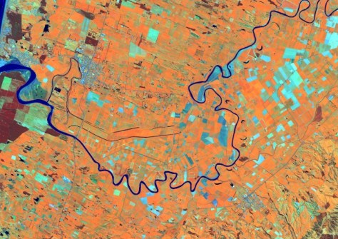
The efforts, which will commence this month, will address crop and agricultural monitoring, advance biomass mapping, and support indigenous communities through Earth observation (EO) technologies.
“By investing in space technologies for farm management, land monitoring and the integration of indigenous knowledge, we are improving our understanding of how to more reliably and sustainably look after our unique countries,” said SmartSat CRC CEO, Professor Andy Koronios.
“We hope these new projects encourage enduring partnerships between Australian and New Zealand researchers, establish platforms for larger-scale future research initiatives, help develop talent and joint expertise, support R&D initiatives, and enhance business development.
“We also hope to build scientific capacity in alignment with both industry and end user needs to address major environmental, economic, and social challenges for both nations.”
The four projects are:
1. Indigenous pathways to advance fuel moisture Earth observation technologies for improved fire planning management strategies.
A joint effort of the Bushfire Research Centre of Excellence, Fenner School of Environment and Society, Australian National University, and Scion (New Zealand Forest Research Institute), this project will combine traditional Aboriginal and Indigenous Māori knowledge with contemporary scientific methods to better understand and manage fire-prone landscapes across Australia and New Zealand.
The researchers will use satellite data to create ‘life maps’ that integrate science-derived models with traditional methods of reading the landscape and assessing fuel flammability — such as moisture content in vegetation — with a view to developing a near real-time flammability monitoring system.
2. Enhancing fractional cover models using hyperspectral data for improved pastoral condition assessment in Australia and New Zealand.
This FrontierSI and Manaaki Whenua–Landcare Research project will seek to enhance fractional cover data products (used to analyse and interpret proportions of green vegetation, non-green vegetation, and bare ground in a landscape) calibrated and proven in Australian conditions for use in monitoring pasture conditions across New Zealand. The ultimate aim is to contribute to more sustainable land use, help to mitigate the risk of erosion and protect vital soil and water resources.
3. Satellite sensing into agricultural practices: Phase A – ANZ’s Cal/Val campaigns of satellite, airborne and ground GNSS sensing of soil moisture.
This project from the University of Newcastle, FrontierSI and the University of Canterbury, will demonstrate the integration of soil moisture measurements collected using GNSS from several platforms, including satellites, aircraft and ground receivers. The study will collect baseline remote sensing data for assessing spatial and temporal variations of soil moisture in the hope of better supporting decision making for agricultural practices and environmental applications.
4. SilverEye – Satellite imaging for land vegetation, environmental recovery in ecosystems and yield enhancement.
This CSIRO and the University of Auckland project aims to develop satellite capability to improve return time and resolution of agricultural monitoring, supporting crop management and environmental best practices across the wider Southern Hemisphere.


