Image courtesy IHO
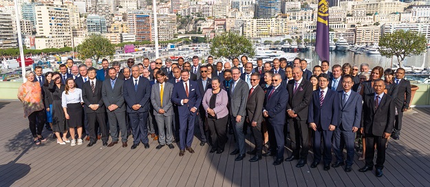
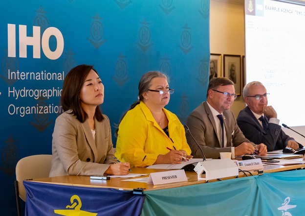
Hydrography experts and policymakers gathered in Monaco in October for the IHO Council meeting, where discussions about digital data services took centre stage.
In particular, implementation of the S-100 standard, the Universal Digital Data Model and global initiatives such as the Digital Twin of the Ocean were high on the agenda.
The new S-100 standards and associated S-100 services will be essential in the shift from basic Electronic Navigational Charts (ENCs) to digital geo-information systems that will be able to receive and process data for a variety of marine purposes, such as protected areas, navigational warnings, surface currents, seabed topography and so on.
“The Council session is the culmination of the IHO working year,” said Dr Mathias Jonas, Secretary-General of the IHO. “Coming together at the IHO Secretariat, Council Members reflect on progress made and take decisions for the next steps in technical standardisation and capacity building support.”
The S-100 standard
Representatives from the Korea Hydrographic and Oceanographic Agency presented the results of an S-100 Testbed Project jointly organised with the United States. They confirmed the four main benefits of S-100:
- increased safety of navigation
- improved efficiency
- optimised load capacity for ships
- a pathway for the shift to autonomous shipping
The test saw participants wear eye-tracking equipment to monitor eye movement while using both the new S-100 digital products and traditional products. The results showed that S-100 solutions had a higher usability and were more comfortable to use.
The test also showcased the potential economic benefits of S-100-based products: for instance, the use of real time information on depth and currents enable users to identify alternate, safer routes with shorter distances, resulting in reductions of fuel consumption.
It is estimated that the use of such S-100 products could decrease fuel consumption costs by 45% per year.
Having machines read and process real-time data based on the S-100 standard should facilitate the development of smart ports and enable ships to optimise their load capacity and their routes, meaning fewer ships on the sea, shorter latency periods outside of ports, and lower CO2 emissions. Ultimately, it would pave the way for autonomous navigation from port to port.

Image courtesy IHO
Digital Twin of the Ocean
Discussions were also held on how hydrography can contribute to efforts such as the development of the Digital Twin of the Ocean. The aim of the Digital Twin is to provide a virtual platform with near-real-time data feeds that replicates the ocean environment.
“There was a need to improve and diversify the information in the digital twin, with the vision being to set up a platform that various data systems could be plugged into, connecting community and services with robust, interoperable systems worldwide,” said Pierre Bahurel, Director General of Mercator Ocean International.
“The ocean prediction community already uses some international standards, but they are not part of a recognised framework. This is why the S-100 Universal Hydrographic Data Model is of interest,” he added.
“For example, using the S-111 standard to gather surface current data for the development of dynamic hydrographic products could help eliminate the barrier posed by the use of different formats.”


