

The Nippon Foundation-GEBCO Seabed 2030 Project has announced a new partnership with Deakin University in Victoria, with the aim of progressing mapping of the world’s oceans.
Deakin University is home to the Deakin Marine Research and Innovation Centre (MRIC), Victoria’s leading university-based marine research centre.
MRIC’s research spans ecosystem restoration, sustainable seafood innovation, climate-impact studies on marine organisms, and an extensive coastal monitoring program that contributes to national and state-level observing networks.
It has campuses on Port Phillip Bay and at Warrnambool.
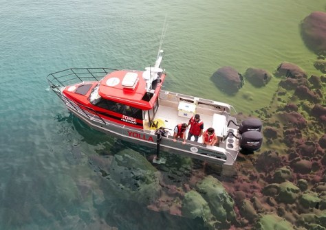
In addition, Deakin Marine Mapping is comprised of a group of researchers from Deakin University who focus on mapping the seafloor and coastlines of Victoria and beyond.
“The Deakin Marine Mapping Group is committed to delivering real-world impact for the ocean and coastal communities. This includes supporting seabed mapping research for over 20 years,” said Professor Daniel Ierodiaconou of Deakin University.
“This partnership with Seabed 2030 provides the framework to align our marine and coastal science with global efforts to expand ocean knowledge and inform sustainable development.”
The Seabed 2030 project has added many partners in recent years, including several in our region:
Geoscience Australia joins forces with Seabed 2030
Revelare Hydrospatial partners with Seabed 2030
New Zealand joins global Seabed 2030 project
“Partnering with Deakin University brings essential research depth and innovation into our mission,” said Jamie McMichael-Phillips, Director of Seabed 2030.
“The mapping of the seafloor is fundamental not only to ocean science, but to sustainable marine economies, climate resilience and the future of ocean stewardship.”
The Nippon Foundation-GEBCO Seabed 2030 Project is a collaborative effort between The Nippon Foundation and GEBCO. The Project coordinates and oversees the sourcing and compilation of bathymetric data from the world’s oceans.
It has four regional centres that cover the Southern Ocean, the Arctic and North Pacific Ocean, the Atlantic and Indian Oceans, and the South and West Pacific Ocean. These centres feed into the Global Data Centre, resulting in the freely-available GEBCO Grid.
The IHO Data Centre for Digital Bathymetry serves as the long-term archive for Seabed 2030.


