

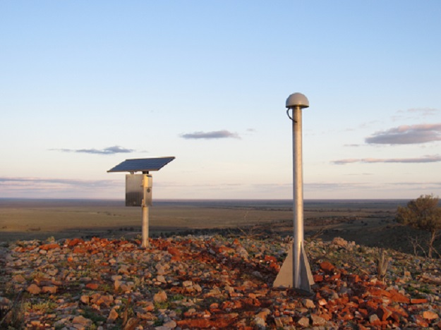
A CORSnet-NSW station. Courtesy Spatial Services.
Following months of research and testing, CORSnet-NSW has successfully transitioned to a new operational environment in the AWS cloud.
In an industry update, Spatial Services said the process also enabled the CORSnet-NSW team to take advantage of increased speed and power available to upgrade our processing software.
Spatial Services said it has worked with telecommunications providers and DCS ICT to provide direct communication links to the software in AWS as well as secure and stable connections to data resellers.
The result, it says, is a highly stable system with increased redundancy to ensure 24/7 service while at the same time upgrading the actual service.
One of the major targets achieved in the process was that end users were not affected and there was no interruption of service.
The benefits of the new system include:
- All available satellites now included in all products and signals.
- Direct connections and fewer hops means faster data for subscribers and resellers resulting in better performance for the end user.
- RINEX version 3 delivery to Geoscience Australia. This means more satellites and more frequencies available in data made freely available, nationwide to the public through the Positioning Australia program.
- Full in-house stability monitoring of all sites in real-time.
- Improved system security with improved protection of end user accounts.
Spatial Services says that users connecting via CORSnet.nsw.gov.au should not be affected by the change. Mountpoints and menus are the same as the existing production system, and rover settings will not need to be changed.
Stay up to date by getting stories like this delivered to your inbox.
Sign up to receive our free weekly Spatial Source newsletter.


