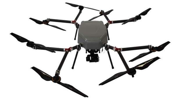
Skyfront, Silvus Technologies have developed long-range BVLOS unmanned aerial vehicles.
Email Newsletter
-
XAG has established a 5m yuan fund for a drone disinfection operation to...
2020-02-04
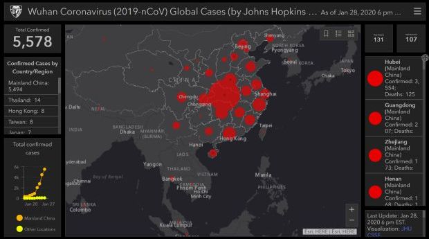
A team at the Johns Hopkins CSSE (US) has built a map that...2020-01-29
Over 50 speakers covering surveying, land administration, GIS, digital twins, SDG, open source...2020-01-27
ADVERTISEMENTSky and Space Global is seeking to raise $14.2 million to launch its...2020-01-27
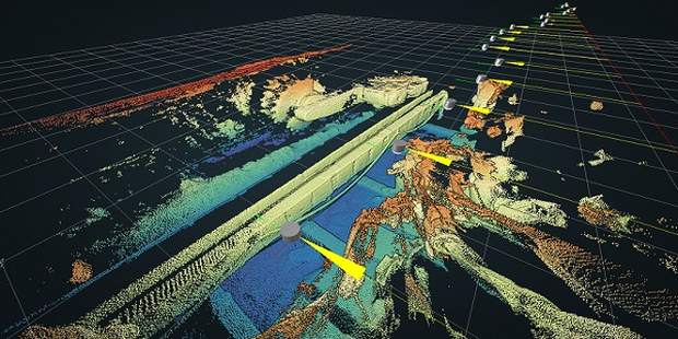
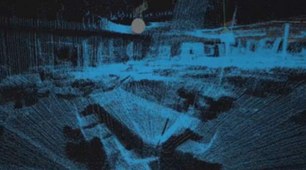
New real-time underground 3D mapping technology can be used to locate, steer and...2020-01-27
ESA and Airbus have signed a contract for the Bartolomeo platform on the...2020-01-27
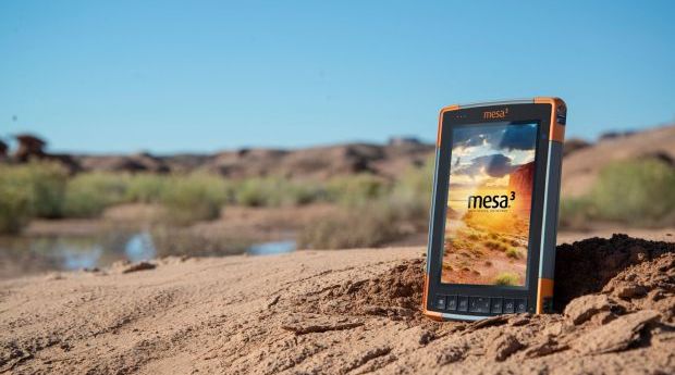
Juniper Systems has released the Mesa 3 Rugged Tablet with more RAM and...2020-01-27
10,000 data sets now available to make life easier for NSW businesses and...2020-01-21
CSIRO’s Parkes radio telescope is to get a new receiver that will increase...2020-01-21
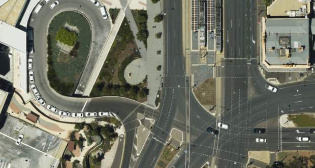
Aerometrex has released two new services for its city mapping service following its...2020-01-21
InnerSpace has been awarded a patent for automated indoor map generation capabilities.2020-01-21
The size of the mobile mapping market is predicted to reach $40 billion...2020-01-21
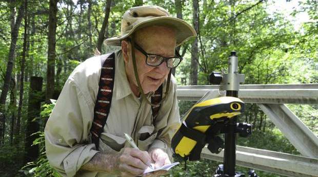
The world’s oldest surveyor is considering putting his feet up at 102 years...2020-01-21
Geospatial powerhouses GHD Digital and Bentley Systems sign on as major sponsors for...2020-01-15
Building approvals for new dwellings rose during November 2019, particularly in high-density areas.2020-01-14
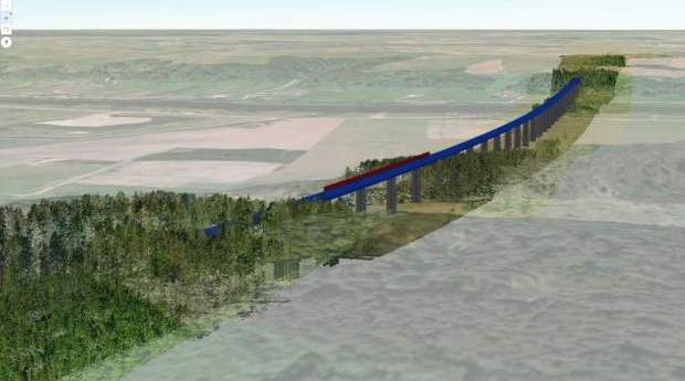
Digital Rail Baltica is on its way, with 870km of tracks and 400+...2020-01-14
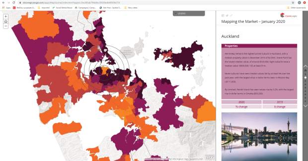
CoreLogic NZ’s latest ‘Mapping the Market’ report offers location analytics using geospatial tools.2020-01-14
UAVOS has converted an R22 manned helicopter into a long-range cargo delivery drone.2020-01-14
Southern Hemisphere space program blasts off at UniSA, offering four public events.2020-01-14
Newsletter
Sign up now to stay up to date about all the news from Spatial Source. You will get a newsletter every week with the latest news.
© 2026 Spatial Source. All Rights Reserved.
Powered by WordPress. Designed by


