March 21 is the day on which we celebrate the essential work of...
Email Newsletter
-
Partners sought to develop 3D Cadastral Survey Model and Exchange program.
2020-07-29
Like many events in the age of Covid, the 2020 awards show moves...2020-05-13
Entries are now open for the 2020 Young Scholars Award to attend the...2020-02-18
ADVERTISEMENTThe patents are designed to enhance safety with parachutes and other technologies.2020-02-18
New dates have been announced for Singapore’s Geo Connect Asia: 24-25 March, 2021.2020-02-18
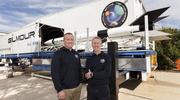
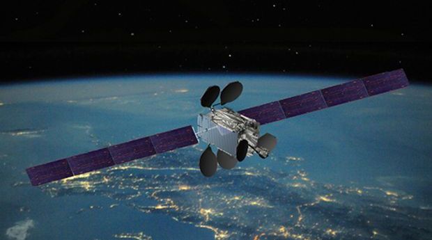
Research that could cut space travel cost by 25 per cent has received...2020-02-17
A recent update to this historic portrait shows Earth as a tiny speck...2020-02-17
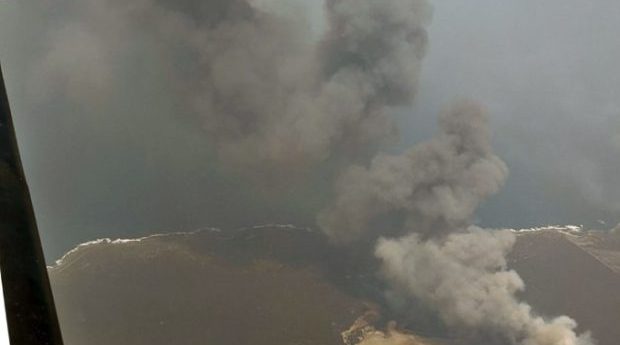
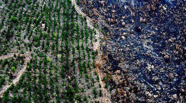
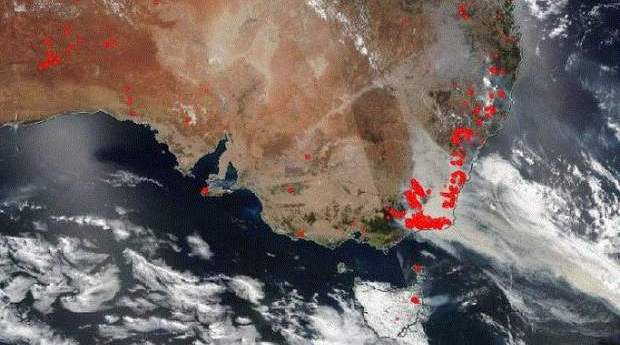
New real-time bushfire mapping technology created in South Australia is being deployed to...2020-02-11
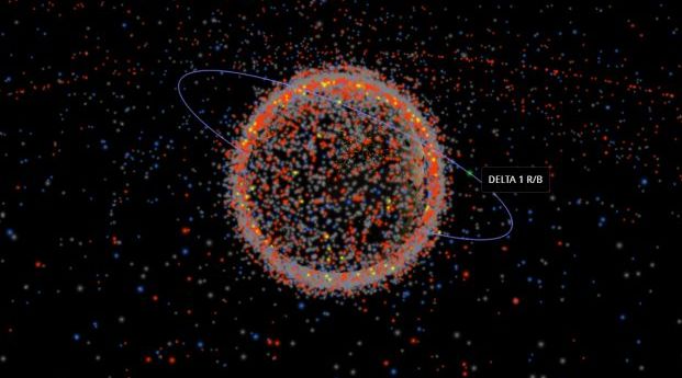
Astronomers are becoming worried about satellite debris and the sheer number of satellites...2020-02-11
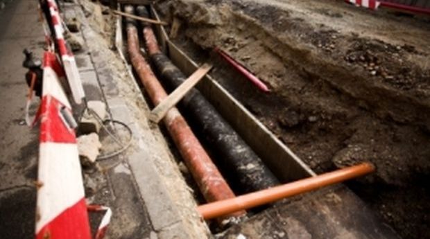
DBYD Vic/Tas has introduced technology automating processes across construction projects.2020-02-11
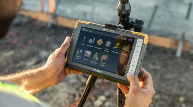
The new FC-6000 model builds on the popular Topcon FC-5000 rugged field tablet.2020-02-11
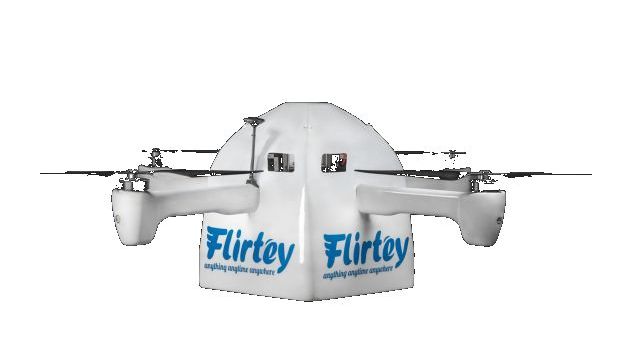
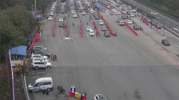
In China, UAV are now used for a wide range of tasks to...2020-02-11
RelmaTech has validated the viability of UAS remote identification and tracking over satellite...2020-02-11
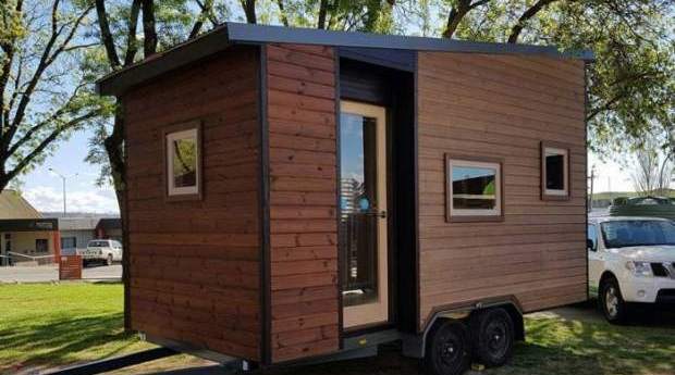
While tiny houses are about more than their cost, they present some planning...2020-02-09
The initiative is billed as a way the surveying and spatial science profession...2020-02-06
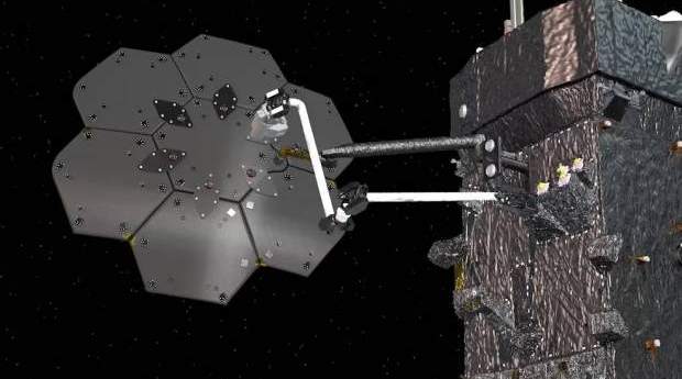
NASA has contracted Maxar to robotically manufacture an antenna and spacecraft beam in...2020-02-04
Locate20 to showcase new tech that play a role in better integrated mapping...2020-02-04
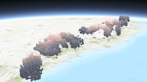
The Bureau of Meteorology is using the map to improve air quality forecasts.2020-02-04
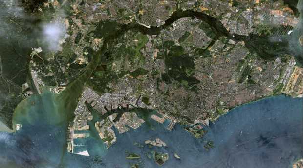
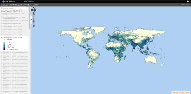
The Gridded Population of the World collection’s fourth version (GPWv4) is now available.2020-02-04
Newsletter
Sign up now to stay up to date about all the news from Spatial Source. You will get a newsletter every week with the latest news.
© 2025 Spatial Source. All Rights Reserved.
Powered by WordPress. Designed by


