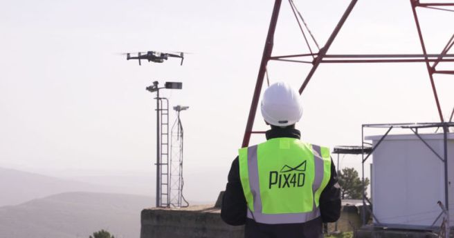
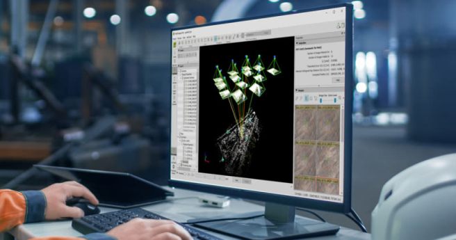
New flight app and a cloud-based platform allow for automated inspections and asset...
Insights
-
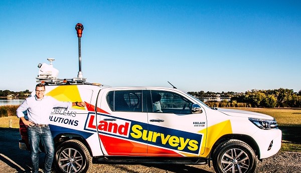
Land Surveys and the team at CR Kennedy prove how seamlessly MLS and...
2020-07-17
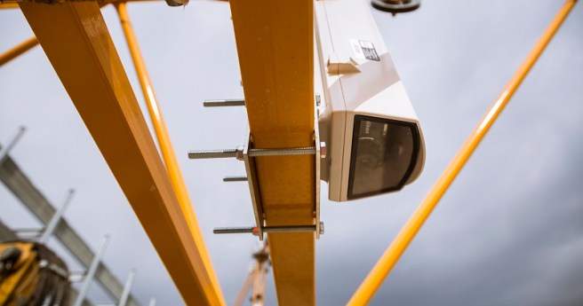
Pix4D Crane Camera delivers drone data without a drone – daily and automatically...2020-07-01
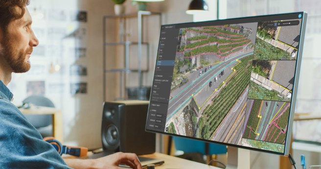
Pix4Dsurvey bridges the gap between photogrammetry and CAD, expanding today’s surveying possibilities. Pix4Dsurvey...2020-06-06
ADVERTISEMENTPort Stephens Council invites expression of interests from suitable providers for GIS software...2020-03-12
Developed by SimActive, Correlator3D™ ensures matchless processing speed to support rapid production of...2019-10-17
CR Kennedy has a range of multi rotor and fixed wing solutions for...2019-09-18
C.R. Kennedy has built a solid reputation as a leading distributor of surveying...2019-08-29
For the past ten years Taylors has pioneered innovative spatial techniques on major...2019-08-26
Pix4Dmapper is the professional photogrammetry software that transforms your images into accurate and...2019-05-12
A Belgian design-build firm integrates a new class of surveying instrument into tram-link...2019-05-07
TechRentals has shaken up the equipment rental market2019-04-04
BLK3D captures images and places precise measurements at your fingertips to allow you...2019-03-19
Trimble solutions help the National Park Service preserve an Alaskan treasure.2019-03-01
LandViewer launched by the California-based company, EOS Data Analytics, has been widely popular...2019-02-27
A California firm uses Trimble solutions to manage a tight schedule and difficult...2019-01-17
SimActive software for rapid processing of imagery Developed by SimActive, Correlator3D™ software is...2019-01-04
When a breakthrough in technology allows you to work more efficiently and with...2018-11-04
SGS Prime COGO is an easy to use surveying and civil engineering software...2018-10-04
Download the free Trimble RTX infopack to learn more. Trimble RTX™ GNSS corrections...2018-09-03
Newsletter
Sign up now to stay up to date about all the news from Spatial Source. You will get a newsletter every week with the latest news.
© 2025 Spatial Source. All Rights Reserved.
Powered by WordPress. Designed by


