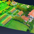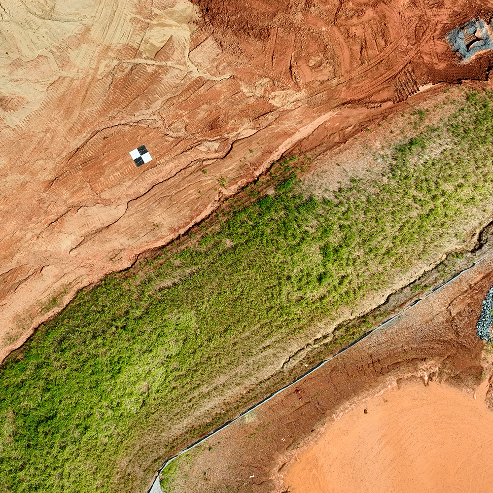
Drones used for mapping require much more than a capable pilot, drone, and photogrammetry software. To create map products, the resulting image data must be tied to the ground. And for this, some form of survey is required. Survey can be in the form of targets surveyed on, or in the air on the drone itself using RTK or PPK technology in conjunction with a receiver in the ground. In either case, the goal is to correct the position of the raw image data spatially so that it fits the same reference system on the ground. Chris Greene with Bullseye Construction joins our host to discuss the challenges of new survey technology vs conventional methods.
Join Eric Andelin CP, Senior Workflow Advisor for SimActive and guest speaker Chris Greene UAS Manager with Bullseye Construction as they discuss on the subject: https://hubs.ly/Q02WtJPp0
Specifically, you will learn about the following:
- Understanding RTK/PPK for drones
- Supplementing with GCPs
- Managing accuracy with Correlator3D
- Confirming the quality of results