Calendar

Apr
1
Tue
GISTAM 2025 @ Porto, Portugal
Apr 1 @ 9:00 am – Apr 3 @ 5:00 pm
GISTAM 2025 @ Porto, Portugal

GISTAM 2025, the 11th International Conference on Geographical Information Systems Theory, Applications and Management will be a meeting point of researchers and practitioners that address new challenges in geospatial data sensing, observation, representation, processing, visualisation, sharing and management.

This includes all aspects of information communication and technologies as well as management information systems and knowledge-based systems.

The conference will present original contributions of either practical or theoretical nature, including research and applications of specialised or interdisciplinary natures, addressing different aspects of geographic information systems and technologies.

Topics to be covered include:

  • Data acquisition and processing
  • Remote sensing
  • Interaction with spatial-temporal information
  • Spatial data mining
  • Managing spatial data
  • Modelling, representation and visualisation
  • GIS and climate change
  • Domain applications

Deadlines:

  • Regular Paper Submission: 13 December 2024
  • Abstracts Track Submission: 30 January 2025
Apr
6
Sun
FIG Working Week 2025 @ Brisbane Convention & Exhibition Centre, Brisbane, Australia
Apr 6 @ 9:00 am – Apr 10 @ 5:00 pm
FIG Working Week 2025 @ Brisbane Convention & Exhibition Centre, Brisbane, Australia

The International Federation of Surveyors (FIG) Working Week 2025 will be held at the Brisbane Convention & Exhibition Centre from Sunday, 6 to 10 April 2025.

The theme for the event will be: Collaboration, Innovation and Resilience: Championing a Digital Generation.

The Convenor for FIG Working Week 2025 is Steve Jacoby, Executive Director, Spatial Information at Department of Resources (Queensland) who has 23 years’ experience as a Senior Executive with the Queensland and Victorian Governments, leading their Spatial Information businesses. Steve has a keen interest in information management and seeing the use of spatial information reach its potential within government, business and the public.

The Program Chair is surveyor, Peter James who is the Business Development Manager, Cohga an Australian company with a focus on the development of IT products, and the provision of associated professional services. Peter is also the son of Earl James, Australia’s first and only FIG President.

FIG Working Week 2025 is a great opportunity for Australia’s geospatial community to showcase their technical expertise, strong research capability and warm hospitality.

Apr
9
Wed
Geo Connect Asia 2025 @ Sands Expo & Convention Centre, Singapore
Apr 9 @ 8:30 am – Apr 10 @ 5:00 pm
Geo Connect Asia 2025 @ Sands Expo & Convention Centre, Singapore

The Geo Connect Asia Show and Conference has scaled up from its launch in 2020 to become the regional meeting place for the fast expanding geospatial, positioning, digital construction and remote sensing markets.

With the growing application of geospatial based knowhow in decision-making across government, enterprise and non-profit the annual event comprises a show with a mix of thought leadership and technical platforms.

Last year’s event attracted more than 100 leading companies and 2494 visitors. Its co-location with Drones & Uncrewed Asia both presents the global UAV industries, but also addresses the importance of data acquisition and analytics in critical and emerging vertical markets.

Digital Construction Asia adds particular focus on the development of one of the region’s largest industries.

The addition of Marine & Hydro Asia expands the reach into the region’s hydro-marine data markets, which are so critical to the economy and security of Southeast Asia.

Apr
22
Tue
Geospatial World Forum 2025 @ Madrid Marriott Auditorium, Madrid, Spain
Apr 22 @ 9:00 am – Apr 24 @ 5:00 pm
Geospatial World Forum 2025 @ Madrid Marriott Auditorium, Madrid, Spain

Geospatial World Forum (GWF) is a collaborative and interactive event that demonstrates the collective and shared vision of the global geospatial community.

This annual gathering brings together geospatial professionals and leaders representing national mapping agencies, private sector enterprises, multilateral and development organisations, scientific and academic institutions, and large end-users from government agencies and private businesses.

This, the 16th edition of the Forum, will be held in Madrid, Spain.

Jun
23
Mon
ESA Living Planet Symposium 2025 @ Vienna, Austria
Jun 23 @ 9:00 am – Jun 27 @ 5:00 pm
ESA Living Planet Symposium 2025 @ Vienna, Austria

Held every three years, the European Space Agency (ESA) Living Planet Symposium brings together diverse communities with a common interest in using Earth observation data, in a forum to meet and network with space professionals from a wide range of sectors.

Living Planet Symposium 2025 will have an emphasis on transitioning from ‘Observation to climate action and sustainability for Earth’.

The event will provide a forum to discuss the latest findings and applications based on satellite data, and to review the contribution that data and technologies have made and could further make in addressing environmental and societal challenges.

The symposium will also provide a chance for showcasing innovative products, services, missions and initiatives, with the overarching goal of demonstrating how science, society, policy-making, businesses and the economy can all benefit from observations made from space.

Aug
3
Sun
International Geoscience and Remote Sensing Symposium @ Brisbane Convention & Exhibition Centre
Aug 3 @ 9:00 am – Aug 8 @ 5:00 pm
International Geoscience and Remote Sensing Symposium @ Brisbane Convention & Exhibition Centre

The International Geoscience and Remote Sensing Symposium (IGARSS) is the flagship conference of the IEEE Geoscience and Remote Sensing Society. The 45th IGARSS will be held in Brisbane from 3 to 8 August 2025.

The theme of IGARSS 2025 is ‘One Earth,’ and the symposium will address threats to our Earth and promote collaborative global solutions that use remote sensing technology. The event will have strong technical and social programs, and present opportunities for regional and global collaboration.

Topics to be covered include:

  • The contribution of international standards for land cover and land use and guidelines for SDG reporting
  • Advanced satellite remote sensing techniques for coastal hazard monitoring and risk prediction
  • Advanced signal processing methods for geoscience and remote sensing applications
  • Applications of remote sensing in urban climate and sustainability
  • Calibration and validation of space-based imaging spectrometers during a growth era of hyperspectral data sources
  • Close-range sensing of the environment
  • Deep learning and remote sensing for rapid disaster response
  • Earth observation foundation models
  • Hyperspectral geoscience mapping in developing countries
  • New satellite laser data for terrain modelling
  • Quantum technology for remote sensing
  • Space LiDAR: Missions, technologies, and observations
Oct
7
Tue
INTERGEO 2025 @ Frankfurt, Germany
Oct 7 @ 9:00 am – Oct 9 @ 5:00 pm
INTERGEO 2025 @ Frankfurt, Germany

The INTERGEO EXPO and CONFERENCE brings together hundreds of exhibitors and thousands of delegates from around the world, to discuss with, learn from and network with others in the sectors of geodesy, geoinformation and land management.

The event presents an opportunity for vendors to showcase their innovative geodata-based solutions to an international audience over three days, addressing current challenges such as climate change, urbanisation and sustainable land use.

The 2024 event in Stuttgart attracted more than 550 exhibitors and more than 17,000 visitors.

Nov
17
Mon
Free and Open Source Software for Geospatial (FOSS4G) 2025 @ Auckland, New Zealand
Nov 17 @ 9:00 am – Nov 23 @ 5:00 pm

The Free and Open Source Software for Geospatial (FOSS4G) conference series, hosted in partnership with OSGeo, brings together open source geospatial users, software developers, decision makers and researchers from around the world.

The FOSS4G 2025 conference in Auckland, New Zealand, will be a vibrant gathering that fosters collaboration and celebrates innovation in the exciting world of free and open source software for geospatial.

The event will feature workshops, technical sessions, keynote addresses, ‘lightning talks,’ code sprints and community events, social events and a ‘women in geospatial’ breakfast.

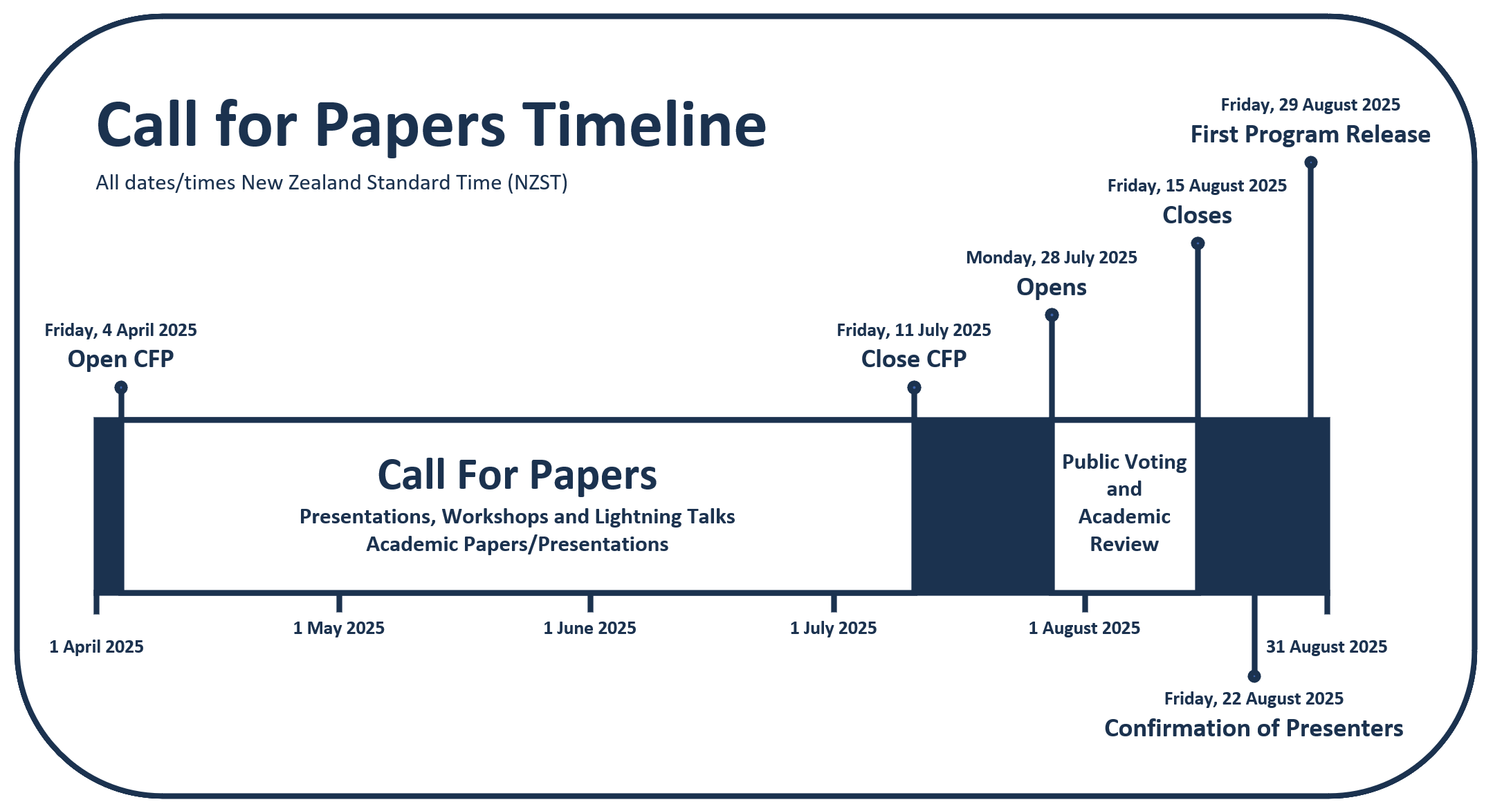
It is expected that the full program will be made available in August 2025.
Newsletter

Sign up now to stay up to date about all the news from Spatial Source. You will get a newsletter every week with the latest news.

GIS, AI to the rescue for the Great Barrier Reef
Australian researchers are designing a global real-time moni...
AI used to produce 30m-resolution global DEM
Fathom says the novel use of AI gives the most accurate publ...
Melissa Harris to head Geoscience Australia
Harris will become CEO of the geoscience agency in February,...
Topcon, FARO ink laser scanning agreement
The companies say they will develop laser scanning solutions...