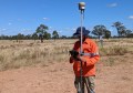
An ambitious project to map all underground pipes and cables across England, Wales and Ireland is one step closer to completion.
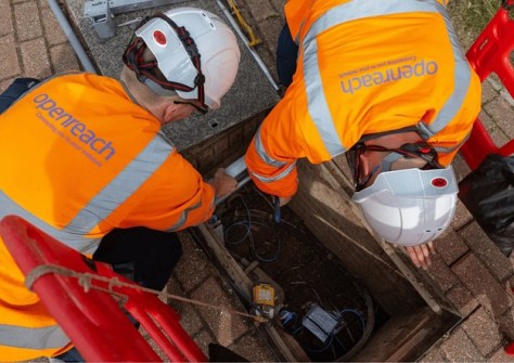
The UK’s largest broadband network provider, Openreach, has now added the location data of its assets to the National Underground Asset Register (NUAR), bringing coverage of known assets in the three countries to more than 80%.
NUAR now has detailed data obtained from underground asset owners for an estimated 3.25 million kilometres of pipes used by electricity, gas, water and pipeline operators and telecoms companies.
The Openreach data includes information on ducts, conduits, poles, spans, cabinets and chambers covering more than 550,000 kilometres.
According to the Ordnance Survey, the aim of NUAR is to produce a “centralised and secure platform that shares a standardised view of underground asset data” on a map.
“NUAR has the potential to provide the ‘one stop shop’ for users to view everyone’s infrastructure in a consolidated and unified way, helping keep everyone safe and preventing damage and disruption,” said Trevor Linney, Networks Director and Openreach spokesperson.
Australian efforts
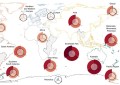
A week ago, we brought news of Before You Dig Australia’s Digital Utility Portal (BDUP), which has tested whether diverse underground utility data ca be visualised coherently on a single GIS platform.
Australia records more than 20,000 underground utility strikes per year, with annual indirect and social costs estimated at $4.6 billion.
Developed and tested at scale in 2025, BDUP leverages modern geospatial technology to deliver utility information digitally, allowing for coherent mapping, advanced spatial querying, and more reliable decision-making.
Asset owners such as Telstra, NBN Co, Ausgrid, Jemena Gas, and Endeavour Energy contributed or committed data, enabling the trial to scale from a 10-hectare prototype in Woolloomooloo to a 100,000-hectare test environment across Greater Sydney.
Data contract
Also announced in recent days is the news that Ordnance Survey has awarded 1Spatial a contract to act as prime contractor, an upgrade on the company’s prior role, to deliver the NUAR Data Transformation and Ingestion Service.
The contract covers an initial two-year term with an option to extend for a further three years.
“NUAR will become one of the most comprehensive underground asset datasets globally and a high-profile example of data integration at scale, with our platform transforming fragmented records into a consistent, validated dataset,” said Claire Milverton, CEO of 1Spatial.
“The complexity of harmonising thousands of datasets represents a strong barrier to entry to other vendors and with similar initiatives emerging internationally, we are strongly positioned to leverage the strength of our technology platform worldwide.”