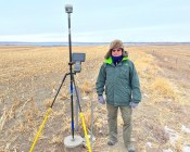
FrontierSI’s new positioning, timing and navigation study outlines ways to strengthen Australia’s PNT ecosystem.
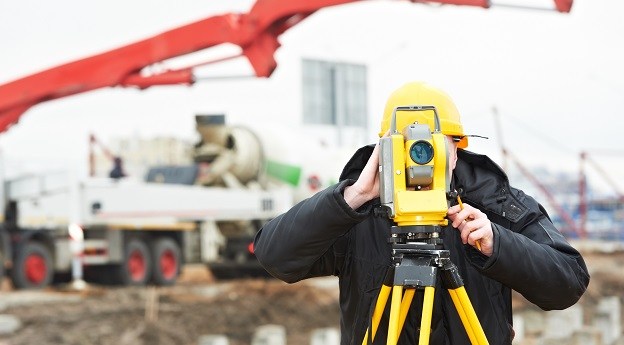
New national standard for engineering surveyors
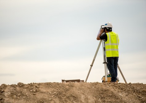
The refreshed Certified Engineering Surveyor framework sets up a unified national competency standard.
Read moreLatest Geospatial News
View all
ADVERTISEMENT
This week: Lots of job vacancies, industry PhD programs, take part in a VR trial, create a cartoon and more.
 2026-02-18
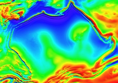
The underground Australia Magnetic Anomaly gets its name from its shape, which resembles continental Australia.
 2026-02-17
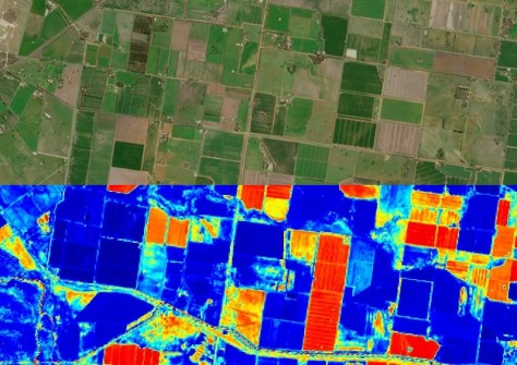
The $15m AI-enabled project is the first initiative of the new Australasian Space Innovation Institute.
 2026-02-17
The Pacific GIS & Remote Sensing Council to work with the International Society for Photogrammetry and Remote Sensing.
 2026-02-16
The union has announced that it has ceased to represent surveyors in Victoria and Tasmania, as of 6 February.
 2026-02-16
ADVERTISEMENT
The Institution of Surveyors NSW is getting ready to begin assessments of surveyors aiming to migrate to Australia.
 2026-02-16
Timing, the backbone of all geospatial systems, will get a boost in the UK via a new tech demonstration program.
 2026-02-13
 Events
View All-
Mar 4
BYDA Utility Safety Conference 2026
 RACV Club Melbourne
 -
Mar 16
Association of Public Authority Surveyors (APAS) 2026 Conference
 Park Proxi Gibraltar, Bowral, NSW
 -
Mar 22
Hydrospatial 2026 Conference
 Shed 6, Wellington, New Zealand
 -
Mar 31
Geo Connect Asia 2026
 Sands Expo & Convention Centre, Singapore
 -
Apr 1
Digital Twin | BIM World 2026
 Paris, France


