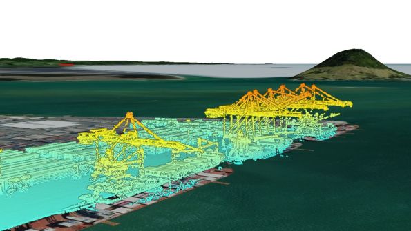
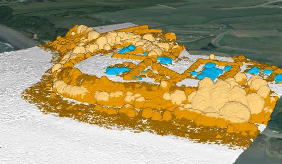
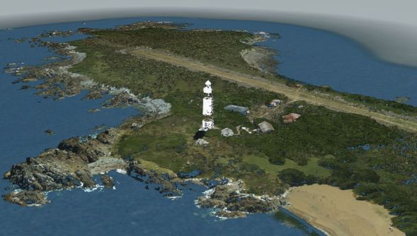
LINZ has released new high-resolution LiDAR point cloud data.
The data, captured from aerial scans, presents the most detailed 3D views so far of parts of New Zealand’s coastline.
Toitū Te Whenua Land Information New Zealand (LINZ) is in the middle of conducting the 3D Coastal Mapping (3DCM) project, which began in 2025 and will eventually cover 40% of the nation’s coastline.
The areas covered extend, typically, 200 metres inland of the mean high-water spring coastline and seaward to a water depth of 25 metres.
The areas being targeted have been chosen either because they comprise highly populated coastal communities, or have significant coastal infrastructure or have a higher risk of coastal inundation.
It is hoped that the three-year project will result in the collection of data that can be used for better understanding coastal change and for tackling problems such as sea-level rise, storm surges and tsunamis.
“The 3DCM Program has made significant progress toward its objective of mapping up to 40 percent of New Zealand’s coastline. We’re pleased to have reached another milestone on time,” said Stuart Caie, 3D Coastal Mapping Programme Lead.
“This release is one of several dataset milestones as we continue to make more coastal data available.”
The data is publicly accessible on the LINZ Data Service website.
An online tracker shows how much of the project has been completed so far.