

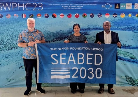
The Nippon Foundation-GEBCO Seabed 2030 Project has announced a new partnership with the National Maritime Safety Authority of Papua New Guinea.
The partnership aims to strengthen hydrographic cooperation and data sharing between Seabed 2030 and National Maritime Safety Authority (NMSA), enhancing mapping efforts across the region.
It will see the two parties work together for efforts such as data acquisition, knowledge exchange and stakeholder engagement.
Located in the middle of the ‘Coral Triangle’ in the Pacific Ocean, Papua New Guinea has one of the most geographically and ecologically diverse marine territories.
“This partnership represents an exciting step forward for Papua New Guinea’s hydrographic ambitions,” said Nicholas Pion, Hydrography Manager at NMSA.
“We are proud to collaborate with Seabed 2030, contributing data and expertise that will enhance understanding of our waters and support informed ocean management.”
Freely available data
Seabed 2030 is a joint project of The Nippon Foundation and the General Bathymetric Chart of the Oceans (GEBCO), with the aim of producing a complete map of the world’s ocean by 2030
All data collected and shared with the Seabed 2030 project is included in the free and publicly available GEBCO global grid.
“Papua New Guinea plays a pivotal role in the Pacific, and we are delighted to welcome NMSA as a partner,” said Seabed 2030 Director, Jamie McMichael-Phillips.
“Their commitment to improving maritime safety and sustainability strongly aligns with our mission.
“Working together, we can accelerate mapping efforts in the Pacific and support its vital contribution to global ocean knowledge, sustainable development and ocean stewardship.”
NOAA in Samoa
A $28 million project to survey 103,000 square kilometres of seafloor in American Samoa waters has begun this month.
The US National Oceanic and Atmospheric Administration’s (NOAA) National Ocean Service has contracted NV5 to undertake the work, using the survey vessel Ocean Guardian.
The aim is to produce publicly accessible maps, images and samples of the seafloor, which is suspected to be a prime location for potential mining of deposits of minerals such as manganese, nickel, cobalt, copper and rare earth elements.
The effort is part of the US Department of Commerce’s implementation of the US Offshore Critical Minerals Mapping Plan.
“This project highlights NOAA’s strong impact on economic resilience as we invest in research that supports sustainable deep sea mining practices and allows partners to better understand their marine environments,” said Neil Jacobs, NOAA administrator.


