

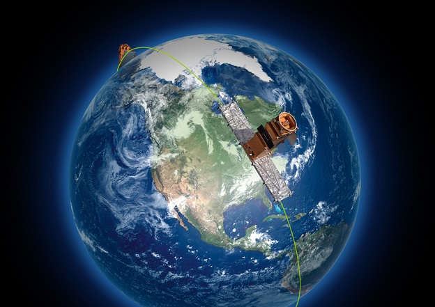
An artist’s impression of the RADARSAT Constellation Mission.
Canada has awarded contracts worth CA$6.8 million to Canadian companies to help satisfy the nation’s future needs for satellite imagery.
For more than 25 years, images from RADARSAT-1, RADARSAT-2 and the RADARSAT Constellation Mission (RCM) have been providing critical information to ensure the safety and security of citizens, monitor and protect the environment and the Arctic, and manage natural resources.
Key technologies developed under 10 new R&D contracts will increase the power of radar data, enable higher resolution images and intelligent anomaly detection, improve measurements of sea-ice thickness and more.
The aim is to make Canadian Earth observation (EO) satellites faster at delivering higher-quality images, and better at collecting precise data to enhance climate prediction and to assist navigation in ice-infested water.
“Our government knows that space can provide a unique vantage point that helps us face challenges of the future,” said François-Philippe Champagne, Minister of Innovation, Science and Industry.
“With Earth observation technologies, data collected from space can give us timely information that allows scientists to see how our planet is changing and help us make better science-based decisions to address issues like climate change and emergency responses.”
The RCM, the Canadian Space Agency’s most recent EO satellite system, provides 300,000 images every year to the Government of Canada.


