

Image courtesy Maxar Technologies
The US National Geospatial-Intelligence Agency is supporting the new US Department of State-funded Conflict Observatory program, which captures, analyses and exposes evidence of Russia-perpetrated war crimes and other atrocities in Ukraine.
Earlier this year, NGA joined the initiative by means of its unclassified commercial imagery capabilities. NGA also engaged with the US National Reconnaissance Office to add additional capacity in order to support the requirements of the effort.
“Since kicking this effort off earlier this year, we’ve been actively working with our program partners to provide access to geospatial data to support this critical mission area,” said Jim Griffith, NGA’s Source Operations and Management Component director.
Access to unclassified medium-to-high resolution electro optical imagery is provided via the Global-Enhanced GEOINT Delivery system, which provides access to map-ready, unclassified imagery to support a wide range of efforts for federal agencies.
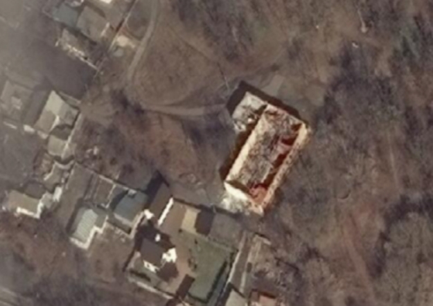
The Conflict Observatory analyses and preserves publicly and commercially available information, including satellite imagery and information shared via social media, consistent with international legal standards, for use in ongoing and future accountability mechanisms.
An online platform shares the Conflict Observatory’s documentation publicly to help refute Russia’s disinformation efforts and shine a light on abuses.
“The great thing about remote sensing data is that it helps us truly understand what is happening on our planet at any given time — all through objective geospatial information,” Griffith said.
“Throughout the crisis in Ukraine, NGA has expanded the diversity and availability of the unclassified commercial GEOINT available to complement our national assets — all to assist our US government and foreign partners in answering a variety of crisis-related operational and humanitarian requirements.”
Stay up to date by getting stories like this delivered to your inbox.
Sign up to receive our free weekly Spatial Source newsletter.


