Image courtesy ASA
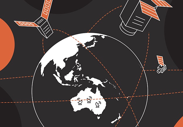
The Australian Space Agency (ASA) has set out its vision for building Australia’s Earth observation capabilities through the publication of a new Earth Observation from Space Roadmap.
The Roadmap is the second in a series of seven roadmaps identified in the Advancing Space: Australian Civil Space Strategy 2019-2028, and outlines a 10-year plan to support growth of the EO sector.
According to the ASA, the roadmap will assist a number of parts of the economy including:
- meteorology
- environmental and disaster response
- agriculture and infrastructure management
- defence and national security.
Industry, researchers, Australian Government agencies, peer space agencies and stakeholder organisations contributed to the development of the roadmap.
The ASA will present introductions to the Earth Observation from Space Roadmap in December 2021.
The Civil Space Strategy 2019-2028 identified seven National Civil Space Priority Areas that will deliver the greatest opportunity for the Australian space sector.
The ASA is developing roadmaps under each of the priority areas to:
- guide and inform industry, research, and government
- map out the future workforce
- align the space sector
- advance the Australian space industry over the next decade.
The development of each of the remaining five roadmaps will take place during late 2021 and early 2022.
Stay up to date by getting stories like this delivered to your inbox.
Sign up to receive our free weekly Spatial Source newsletter.


