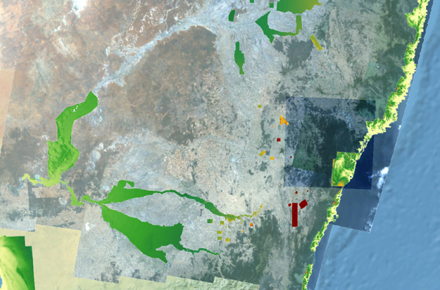
National DEM 5m LiDAR overlaid across a map of NSW. Screenshot taken from the NSW Spatial Digital Twin website.
NSW’s Spatial Digital Twin is being given a $40 million boost from the state government’s Digital Restart Fund (DRF) to enable it to provide a 4D model for the entire state.
The award-winning Spatial Digital Twin collates data sources from across government including spatial, natural resources and planning, and mixes it with real time feeds from sensors to provide insights for planners, designers and decision makers.
“This investment will cement NSW’s position as the world leader when it comes to Spatial Digital Twin technology,” said Minister for Digital and Customer Service, Victor Dominello.
“This digital architecture makes it possible to visualise a development digitally before it is physically built, making it easier to plan and predict outcomes of infrastructure projects, right down to viewing how shadows fall, or how much traffic is in an area.”
Over the last 12 months the Spatial Digital Twin has received 18 million requests for access to 3D datasets. To be progressively rolled out across the whole state over the next two years, it currently hosts virtual representations of eight high-growth council areas:
- Blue Mountains
- Camden
- Campbelltown
- Fairfield
- Hawkesbury
- Liverpool
- Penrith
- Wollondilly
The Spatial Digital Twin is also now accessible on mobile devices, “making it easier for customers to collaborate and gain planning information about their streets, neighbourhoods and communities,” Minister Dominello said.
The mobile-friendly version was developed by the Department of Customer Service’s Spatial Services team in partnership with Data61.

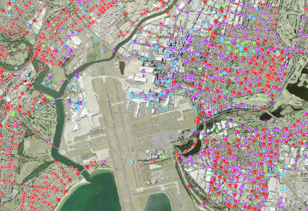
Survey mark locations overlaid across the suburbs surrounding Sydney Airport. Screenshot taken from the NSW Spatial Digital Twin website.
The Spatial Digital Twin forms part of the recently launched Live.NSW program. DRF investment in the program will include development of the Live.NSW customer platform, which is intended to simplify user experience and enable members of the community to search for information based on their needs and places of interest.
“The Live.NSW customer platform can be used to inform life decisions like where to move based on school catchments, as well as improving engagement with government planning and delivery,” Mr Dominello said.
The Live.NSW customer platform will launch in early 2022, and is just one element of a wider NSW Government plan that has been allocated $2.1 billion across four years for investment in digital transformation projects.
Stay up to date by getting stories like this delivered to your inbox.
Sign up to receive our free weekly Spatial Source newsletter.


