Vicmap Book and Mapscape updates

By on 20 November, 2012
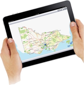
Spatial Vision has launched both the latest Central Vicmap book, the first of the edition 4 series, and the second release of the new Mapscape product, in readiness for the 2012/2013 fire season. This joint event sees a single map base released in hardcopy and digital formats simultaneously for the first time.
Spatial Vision, in a joint effort with emergency services and other government bodies, has been delivering topographic mapping to support Victorian emergency managers for over 10 years.
The launch recognised the contribution Spatial Vision’s Vicmap books have played in fulfilling a key recommendation of the 2003 Bushfire Inquiry, which recommended that Victorian emergency services adopt a coordinated and consistent approach to mapping.

You may also like to read:


Newsletter

Sign up now to stay up to date about all the news from Spatial Source. You will get a newsletter every week with the latest news.

QGIS WCPS plugin for multidimensional datacubes
The new QGIS WCPS Plugin enables seamless querying and visua...
Seafloor mapping reveals landslide, tsunami risk
Surveying and mapping are providing insights into some of th...
Company behind Pokémon GO splits off spatial arm
Niantic will spin off its geospatial AI arm into a new compa...
Sphere Drones transitions to in-house production
Sphere boosts its local manufacturing capabilities to meet m...
Terria targets the digital twin universe
We speak with the firm’s co-founders to find about more ab...
Desktop, cloud geographic software
Blue Marble Geographics has launched Geographic Calculator 2...