Vanuatu has launched a first-of-its-kind climate change and natural disaster management information system.
The platform, launched by the country’s prime minister, combines satellite-derived data and civil administration data with open-source tools to forecast disaster impacts, loss and damage.
The set of integrated tools for improving decision-making in the face of crisis, is supported by the Pacific Community’s (SPC) expertise in statistics, data, and digital innovation, and the World Bank.
It is designed to speed up the pace of assessments following natural disasters, enable faster deployment of resources to affected communities, and provide accurate financial estimates of damage to assets and infrastructure.
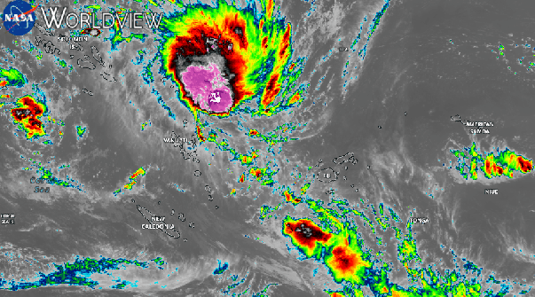
“Vanuatu is one of the most disaster-prone nations in the world,” said the Republic’s Prime Minister, the Hon. Mr Jotham Napat.
“Every year, our communities face cyclones, volcanic activity, earthquakes, flooding, and the slow-onset impacts of sea-level rise and coastal erosion.
“These challenges place increasing pressure on our government systems, our budgets, and our ability to respond quickly and effectively.”
Bringing data together
The system has three main components.
The first is a set of reproducible analytical pipelines (RAPs) — automated workflows built in the statistical programming language R that draw on past data and models — that will help estimate how much damage a natural disaster might cause and what resources will be needed to respond and recover.
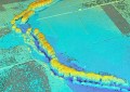
The second is the range of satellite imagery and cloud-based geospatial analytical tools from Digital Earth Pacific, an operational Earth observation system developed by SPC to monitor environmental changes, are used to track shifts in land use, coastline erosion, and unusual rainfall patterns.
And thirdly, a management information system that brings together administrative data from Vanuatu’s government agencies and the outputs of the first two components and integrates them into dashboards and maps.
“This represents a significant shift toward data-driven decision-making,” said Prime Minister Napat.
“It [gives] provinces and line ministries better information. It improves fiscal planning by providing clear, evidence-based estimates of recovery needs. And it reduces the burden on our clusters by streamlining the collection, analysis, and reporting of critical information during emergencies.”
Co-operative effort
The initiative began as one of several ‘innovative experiments’ of the PacStat project, implemented by SPC and funded by the World Bank, fostering statistical innovation and capacity-building in the Pacific Islands.
It was designed and implemented by the Vanuatu Bureau of Statistics in collaboration with Vanuatu’s Ministry of Climate Change, alongside technical input from SPC, the United Nations Economic and Social Commission for Asia and the Pacific, and private data science firm
Built entirely using open-source software, the project has taken into consideration well-established concerns about country ownership and capacity development. Training and sustainability planning have been embedded to ensure its long-term viability.
“Some of the [existing] systems here were developed by technical experts from abroad,” said Andy Calo, Vanuatu’s Chief Statistician.
“When these experts depart our country, we [have historically been] unable to retain their knowledge and expertise. So the project is basically to help us design a system that we will be able to use … [one] that meets our needs and context.”
“As a nation, we have always been resilient,” said Prime Minister Napat.
“But resilience today requires not only courage and unity — it requires the intelligent use of data, technology, and evidence. This system is a major investment in the future of our country.”