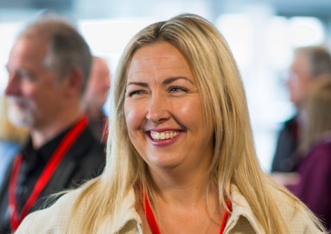
The Survey Association (TSA), the UK’s professional body for land and hydrographic surveyors, has announced the election of its new president, Claire Fenwick.
Fenwick is Managing Director of surveying company, Spatial Dimensions. Having trained as a geomatics surveyor and quickly progressing from trainee to senior surveyor with one of the UK’s leading survey companies, Fenwick branched out as a freelancer before founding Spatial Dimensions in 2012.
A recipient of the Kent Women in Construction Award, Fenwick speaks regularly at local schools and colleges on the topic of careers in construction, and actively promotes careers in the built environment for women.
“I am privileged to be TSA President. I firmly believe in the benefits of sharing knowledge and upholding standards, which are key to TSA’s role in the ever-changing world of geomatics,” said Fenwick.
“I hope to contribute and have a positive impact with this, helping TSA, other companies and individuals to attain standards set and mark the way for whatever future technology holds for us.”
“Every President brings something new to Council and I am delighted that Claire will take the reins as the next President of TSA,” said TSA’s CEO, Rachel Tyrrell.
“Her career path is truly inspirational and she brings with her a wealth of experience and a fresh approach to leadership. This new chapter for TSA promises an exciting journey for our membership.”


