

Here’s what you’ll find in the April/May 2025 issue of Position magazine, Australia’s journal for the geospatial, surveying, GIS, remote sensing, hydrography and mapping sectors.
If you’re not currently a subscriber, please head to our subscription page and sign up today to stay fully informed of developments in the Australasian geospatial sector.
Inside you’ll find:
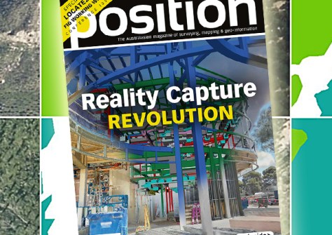
- COVER STORY: The reality capture revolution — Aptella’s spectrum of reality capture solutions is transforming spatial data across multiple industry sectors, using technologies that range from lightweight mobile scanning systems to advanced aerial platforms.
- Women in surveying — Find out how the Queensland Women in Surveying Forum aims to create a more supportive, diverse and inclusive industry.
- Q&A with Zaffar Sadiq Mohamed-Ghouse — Combatting climate change, saving lives and building better societies have been top of mind for Dr Zaffar Sadiq Mohamed-Ghouse as he represents Australia on the world stage.
- Digital construction made easy — The Leica iCON Trades field solution from C.R. Kennedy makes taking the jump into the world of digital construction easy and efficient.
- Reef rescue — Australian researchers have called for the establishment of a global real-time monitoring system using GIS and AI to help save the world’s coral reefs.
- Celebrating diversity — Read our International Women’s Day profiles of three outstanding professionals who are excelling in different segments of the geospatial field.
- Lightning strikes — The first round of data collection for the IGNIS Project involved 50 flying hours covering 10,000 km, using infrared cameras to analyse terrain in Western Australia’s south-east region to select areas for a lightning mapping network.
- Urban heat study — The Group on Earth Observations has partnered with C40 Cities in a new collaboration within the IBM Sustainability Accelerator program to demonstrate how AI-powered insights and geospatial data can help cities mitigate heat risks and protect vulnerable communities.
- Forestry management — Find out how AI and 3D airborne LiDAR have been used to map radiata pine forests for most of New Zealand’s North Island.
Plus, the latest updates from the Geospatial Council of Australia:
- Economic impact — The 2030 Space and Spatial Industry Growth Roadmap Working Group outlines the objectives, actions and policy settings needed to maximise the contribution of the two sectors to Australian society and its economy.
- In conversation — By mixing mapping and music, Martin Brabec is proof that technical precision and artistic expression can go hand in hand.
Plus all the latest industry news, a full list of upcoming conferences and details of the latest products on the market.
Stay up to date with developments in the Australian geospatial, surveying and GIS sectors — sign up today to receive Position magazine by heading to our subscription page.


