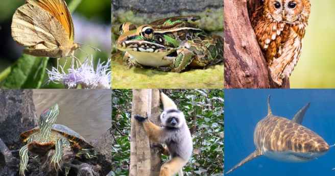
The City of Sydney has set targets to grow a cooler, more diverse,...
spatial analysis
-
In the run up to the Locate conference in May, we’re highlighting some...
2023-04-14
Australian researchers calculate just how big the impact is.2021-02-03
Register by August 24 and bring your skills to bear on local challenges.2020-08-19
ADVERTISEMENTInvestigating the concept underpinning planning during Australia’s urban population boom.2019-02-06
UAV-captured multispectral imagery and AI identify two endangered plant species in remote bushland.2018-07-18
Newsletter
Sign up now to stay up to date about all the news from Spatial Source. You will get a newsletter every week with the latest news.
© 2025 Spatial Source. All Rights Reserved.
Powered by WordPress. Designed by ![]()


