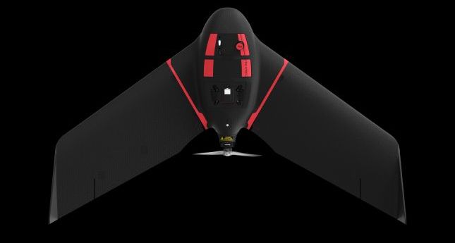
The eBee Ag is designed to help farmers, agronomists and service providers capture...
sensefly
-
senseFly has launched an eBee X variant with the Micasense RedEdge-MX multispectral camera.
2019-03-26
Maker of the eBee announces a collaborative leadership structure and emphasis on software...2018-12-11
The new senseFly Corridor platform combines hardware and software for infrastructure surveys.2017-06-16
ADVERTISEMENTThere are many names, but just as many opinions about their suitability as...2017-05-24
As we enter another year, you are not alone struggling to grasp the...2016-12-21
UAV’s new analysis software simplifies the flow of actionable data from drone to...2015-04-14
senseFly has launched eBee Ag, a fully autonomous UAV for precision agriculture applications.2014-04-22
Newsletter
Sign up now to stay up to date about all the news from Spatial Source. You will get a newsletter every week with the latest news.
© 2026 Spatial Source. All Rights Reserved.
Powered by WordPress. Designed by


