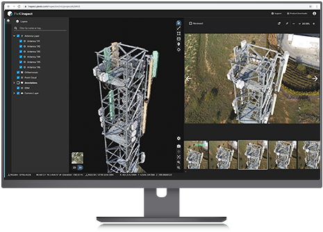
Pix4D and SAP announce new integrated offering aimed at automated asset inspection for...
Pix4D
-
New flight app and a cloud-based platform allow for automated inspections and asset...
2020-07-22
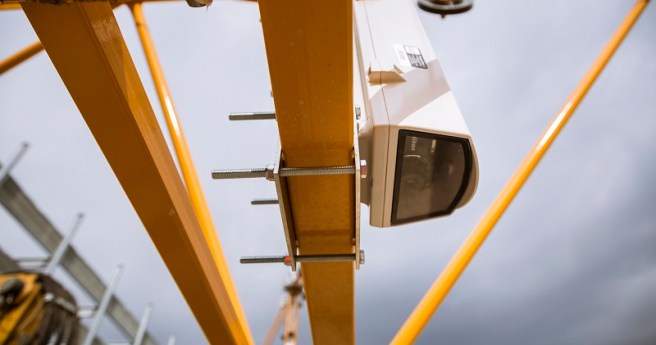
Pix4D Crane Camera delivers drone data without a drone – daily and automatically...2020-07-01
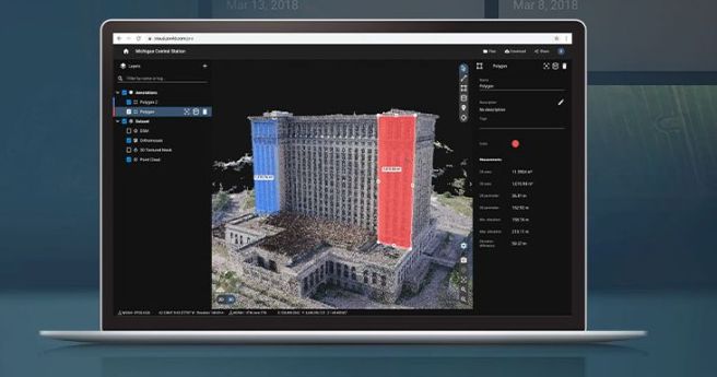
Pix4D has launched two all-new cloud-based photogrammetry platforms.2020-06-10
ADVERTISEMENTMaker of the eBee announces a collaborative leadership structure and emphasis on software...2018-12-11
Machine learning, spatial APIs and access to high-resolution satellite imagery: three factors may...2018-01-31
UAV’s new analysis software simplifies the flow of actionable data from drone to...2015-04-14
Newsletter
Sign up now to stay up to date about all the news from Spatial Source. You will get a newsletter every week with the latest news.
© 2026 Spatial Source. All Rights Reserved.
Powered by WordPress. Designed by


