Planet Labs’ latest high- and medium-resolution satellites are being prepared for launch in...
multispectral
-
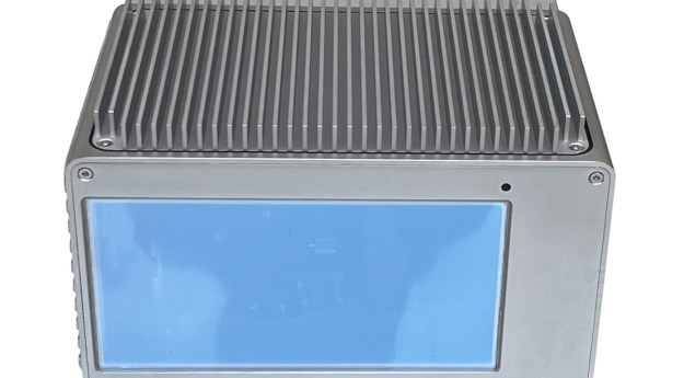
The IRIDESENSE 3D multispectral LiDAR sensor can analysing plant health and soil humidity...
2024-03-20
DJI launches a turnkey agricultural analysis solution based on the Phantom 4.2019-10-02
Optech has announced the world’s first multispectral LiDAR sensor, the Optech Titan.2014-12-09
Newsletter
Sign up now to stay up to date about all the news from Spatial Source. You will get a newsletter every week with the latest news.
© 2026 Spatial Source. All Rights Reserved.
Powered by WordPress. Designed by ![]()


