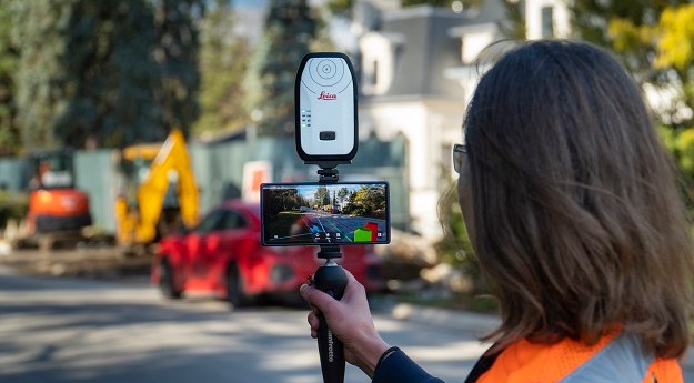
vGIS Augmented Reality platform seamlessly brings together GIS, BIM and reality mesh data
Leica
-
‘Tested, tried and proven’ Leica instruments and software highlight the complex system monitoring...
2021-03-16
Surveyors see unlimited uses for the new Leica GS18 I RTK rover with...2021-01-03
Leica rolls out two new offerings in its Cyclone suite of reality capture...2020-12-16
ADVERTISEMENTLeica’s Cyclone 3DR offering harnesses 3DReshaper’s processing capabilities.2019-06-19
BLK3D captures images and places precise measurements at your fingertips to allow you...2019-03-19
When a breakthrough in technology allows you to work more efficiently and with...2018-11-04
The Leica Geosystems BLK360 Imaging Laser Scanner caused a sensation when announced in...2018-05-29
Leica’s SPL100 reality capture solution uses Single Photon LiDAR to collect 6 million...2017-03-15
The Leica DX Manager simplifies utility surveying and asset management workflows.2017-02-13
The Leica BLK360 laser scanner has not been released yet, but continues to...2017-02-10
The Viva GS16 selects optimal GNSS signals and stays connected without reference links.2016-05-16
The award-winning Leica Pegasus:Backpack makes professional mapping more efficient than ever before.2016-01-26
Leica has released Jasset, a monitoring solution that locates mobile and semi mobile...2015-03-03
Hexagon has combined some of its brands to form a new company, Hexagon...2015-02-10
Leica Geosystems will use Headwall’s hyperspectral imaging sensors in its airborne products.2014-11-04
Leica Geosystems’ RCD30 Penta Oblique system is now available with new optics.2014-10-14
A UAV has been developed to fly without the aid of GNSS, making...2014-10-07
Leica Geosystems has introduced the next generation of its airborne LiDAR solutions, the...2014-09-16
Leica has announced its latest solution for processing laser scan data, Leica Cyclone...2014-09-09
Newsletter
Sign up now to stay up to date about all the news from Spatial Source. You will get a newsletter every week with the latest news.
© 2025 Spatial Source. All Rights Reserved.
Powered by WordPress. Designed by


