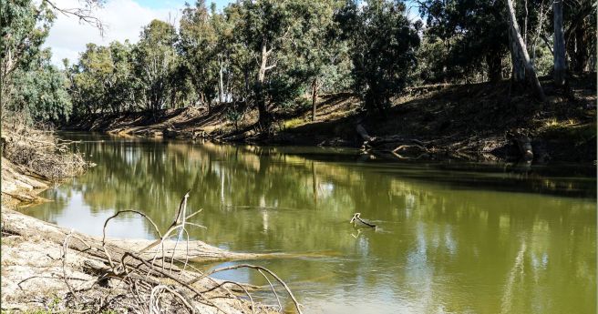
Protecting and preserving Australia’s ancient landscape using cutting-edge drone and mapping technology.
environmental monitoring
-
Protecting and preserving Australia’s ancient landscape using cutting-edge drone and mapping technology.
2024-10-21
The funding includes support for projects to monitor inland and coastal water quality...2024-04-08
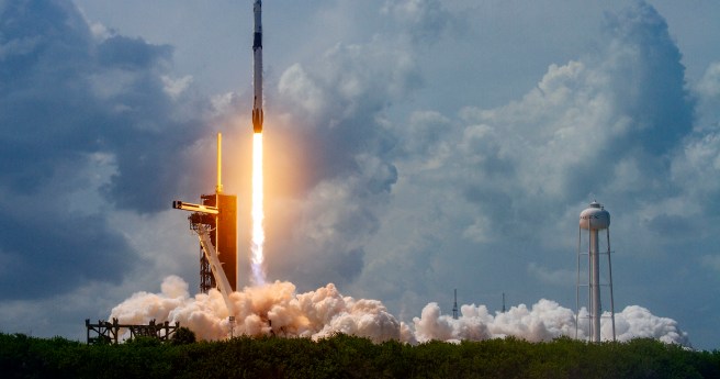
TERN’s Litchfield Savanna SuperSite is helping some of the biggest space missions to...2022-05-11
ADVERTISEMENTDrones, detection dogs, poo spotting: the $2 million race to survey our koalas...2020-12-02
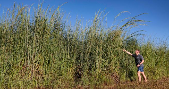
Researchers have developed a model that can identify Gamba grass with up to...2020-11-25
NZ spatial software firm partners with Microsoft on water sustainability.2020-09-29
Project to build sensor and satellite network to monitor river health.2020-09-22
With all of Earth’s challenges this year, space can feel like an afterthought...2020-07-08
FrontierSI report analyses key issues in developing fit-for-purpose, UAV-derived data products.2018-08-14
REMAP enables simple and swift analysis of Landsat data for ecosystem monitoring.2018-07-31
UAV-captured multispectral imagery and AI identify two endangered plant species in remote bushland.2018-07-18
TERN’s national ecosystem surveillance network now boasts over 625 monitoring sites.2018-06-12
Delight in these unique, detailed time series maps of Murray-Darling waterbirds.2018-05-02
Newsletter
Sign up now to stay up to date about all the news from Spatial Source. You will get a newsletter every week with the latest news.
© 2026 Spatial Source. All Rights Reserved.
Powered by WordPress. Designed by


